


62 km | 81 km-effort


Usuario


Aplicación GPS de excursión GRATIS
 SityTrail
IGN / Institutos geográficos
SityTrail World
El mundo es suyo
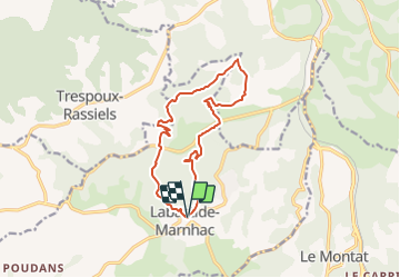
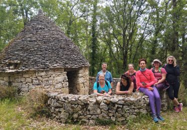
Ruta Senderismo de 13,6 km a descubrir en Occitania, Lot, Labastide-Marnhac. Esta ruta ha sido propuesta por RandoVal.
Petite boucle dans le Lot, stationnement et départ derrière l'église de Labastide-Marnhac, sens horaire.

Bici de montaña

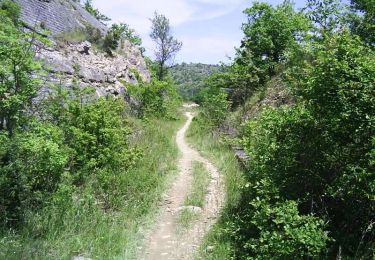
Senderismo

Bici de montaña
Bici de montaña
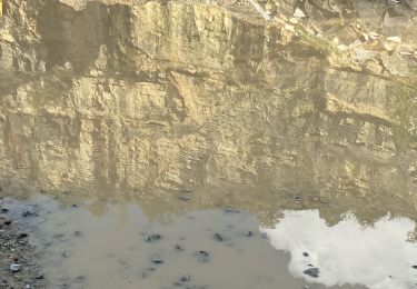
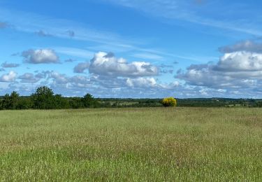
Senderismo
Senderismo
Senderismo
Senderismo