


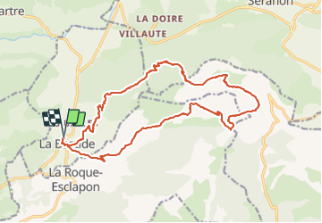


11,7 km | 19,4 km-effort

Usuario


Aplicación GPS de excursión GRATIS
 SityTrail
IGN / Institutos geográficos
SityTrail World
El mundo es suyo
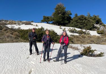
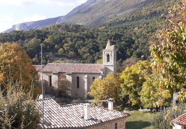
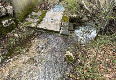
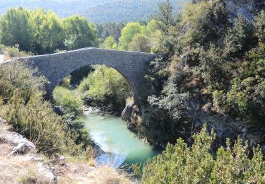
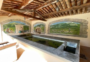
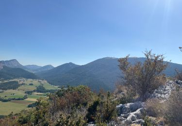
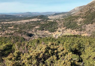
Ruta Senderismo de 22 km a descubrir en Provenza-Alpes-Costa Azul, Var, La Bastide. Esta ruta ha sido propuesta por ETMU5496.
Jolie randonnée champêtre et bucolique avec du dénivelé mais sans difficulté particulière


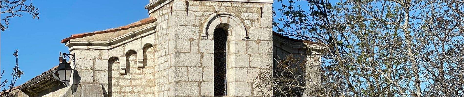
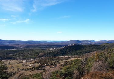
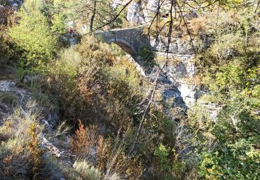
32 fotos en total. Haga clic en una foto para mostrarlas todas en la galería.
Senderismo
Senderismo
Senderismo
Senderismo
Senderismo
Senderismo
Senderismo

sport
Senderismo