


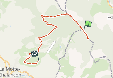

15,3 km | 24 km-effort


Usuario


Aplicación GPS de excursión GRATIS
 SityTrail
IGN / Institutos geográficos
SityTrail World
El mundo es suyo
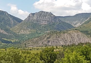
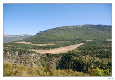
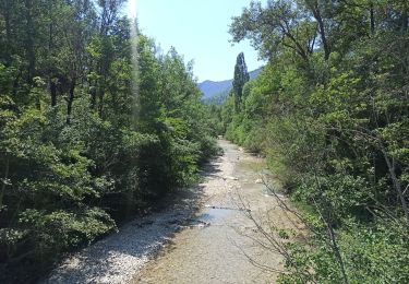
Ruta Senderismo de 8,3 km a descubrir en Auvergne-Rhône-Alpes, Drôme, Rottier. Esta ruta ha sido propuesta por randonneur07.
Début un pénible et monotone sur un chemin forestier, puis arrivée dans une clairière suivre un petit sentier jusqu. À une grotte, pui retour à la clairière, prendre le chemin qui monte sur la crête, où la s offre un panorama de ouf
Senderismo
Senderismo

Bici de carretera
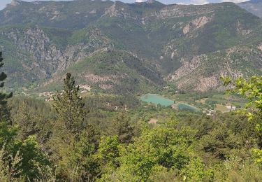
Senderismo
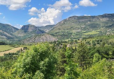
Senderismo

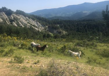
Caballo

Senderismo
Senderismo
Senderismo