


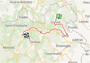

11,9 km | 17,3 km-effort


Survivrez vous aux 6 jours ?


Aplicación GPS de excursión GRATIS
 SityTrail
IGN / Institutos geográficos
SityTrail World
El mundo es suyo
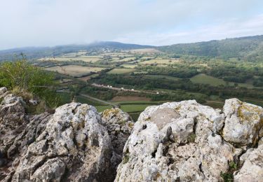
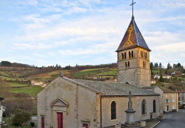
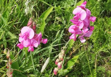
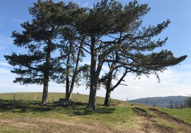
Ruta Senderismo de 25 km a descubrir en Auvergne-Rhône-Alpes, Ródano, Cenves. Esta ruta ha sido propuesta por Les crêtes du Haut Beaujolais par le RCY 2021.
Projet journée 2/6
Senderismo

Senderismo
Senderismo

Bici de montaña
Senderismo
Senderismo
A pie
Senderismo
Senderismo