


14,9 km | 21 km-effort

Usuario


Aplicación GPS de excursión GRATIS
 SityTrail
IGN / Institutos geográficos
SityTrail World
El mundo es suyo
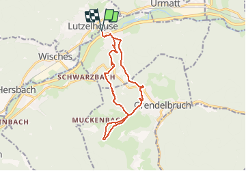
Ruta Senderismo de 13,3 km a descubrir en Gran Este, Bajo-Rin, Muhlbach-sur-Bruche. Esta ruta ha sido propuesta por VacheKiri67.
Faite le 09/05/2021. Au départ de la gare de Lutzelhouse.
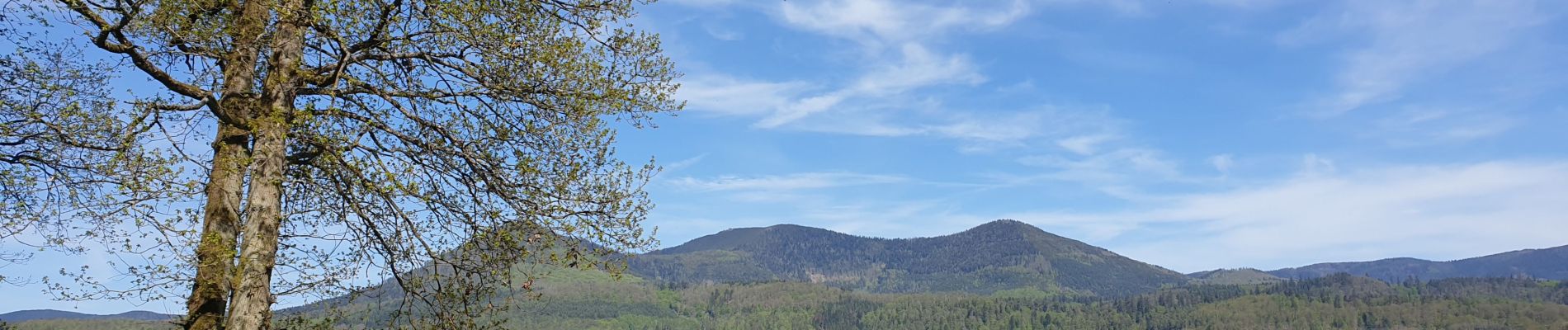
La montée au rocher vous fera de beaux mollets.
D'après https://rutsch.eu/strasbourg-alentours/rando-sans-voiture-alsace-grendelbruch/


Senderismo

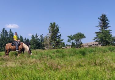
Paseo ecuestre

Bici de montaña

Bici de montaña

Senderismo
Senderismo
Paseo ecuestre

Paseo ecuestre
Paseo ecuestre