


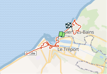

10,7 km | 14,4 km-effort

Usuario GUIDE


Aplicación GPS de excursión GRATIS
 SityTrail
IGN / Institutos geográficos
SityTrail World
El mundo es suyo
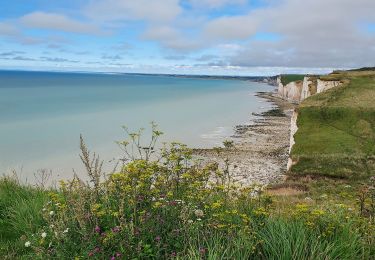
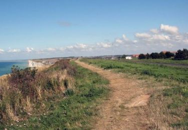
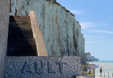
Ruta Senderismo de 9,4 km a descubrir en Normandía, Sena-Marítimo, Le Tréport. Esta ruta ha sido propuesta por chessyca.
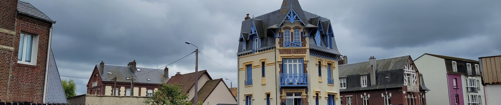
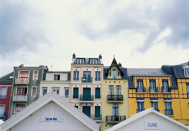
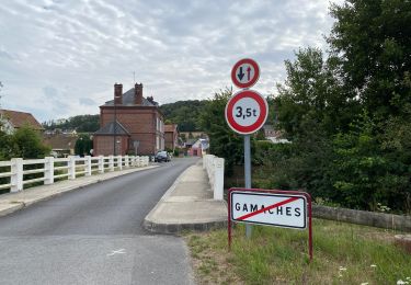
Il manque les 3/4 premiers km durant lesquels nous avons vadrouillé dans les belles rues de Mers


Senderismo
Senderismo
Senderismo
Senderismo

A pie
Senderismo
Senderismo
Bici de carretera
Senderismo