


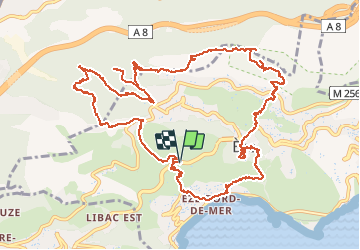


10,9 km | 14 km-effort

Usuario


Aplicación GPS de excursión GRATIS
 SityTrail
IGN / Institutos geográficos
SityTrail World
El mundo es suyo
Ruta Senderismo de 16,9 km a descubrir en Provenza-Alpes-Costa Azul, Alpes Marítimos, Èze. Esta ruta ha sido propuesta por ETMU5496.
Départ de la moyenne corniche suite difficultés de stationnement en Bord de mer.
superbe randonnée avec de jolis points de vue, la visite du village de Eze, des forts de la Révère et de la Drette.


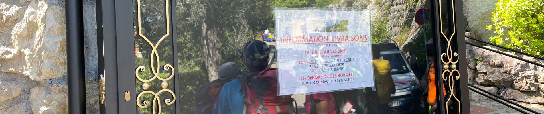
38 fotos en total. Haga clic en una foto para mostrarlas todas en la galería.

Senderismo

Senderismo

Senderismo

A pie

Senderismo

Otra actividad

Senderismo
Senderismo
Senderismo