


8,6 km | 9,3 km-effort

Usuario GUIDE


Aplicación GPS de excursión GRATIS
 SityTrail
IGN / Institutos geográficos
SityTrail World
El mundo es suyo
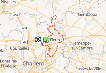
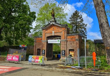
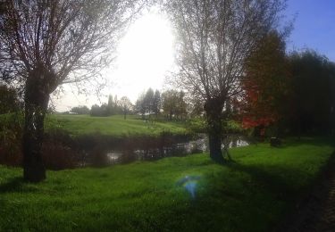
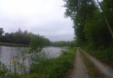
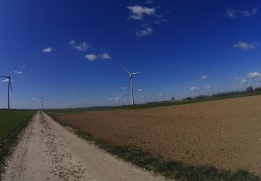
Ruta Bici de montaña de 46 km a descubrir en Valonia, Henao, Charleroi. Esta ruta ha sido propuesta por pascalou73.
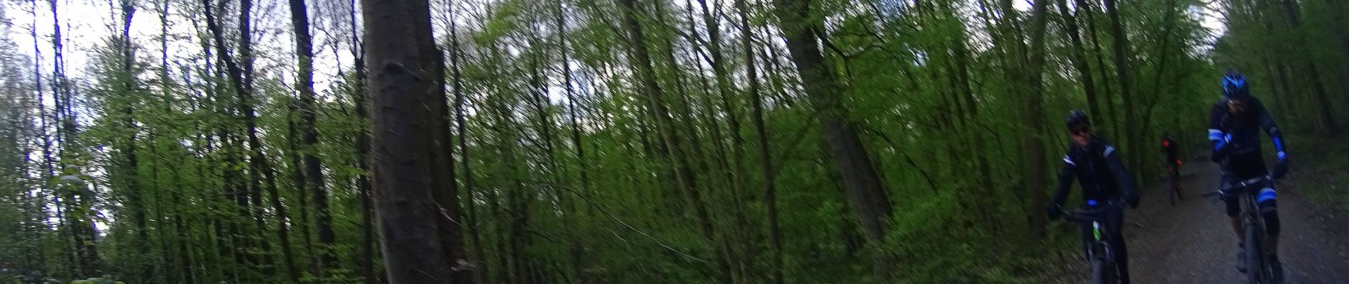
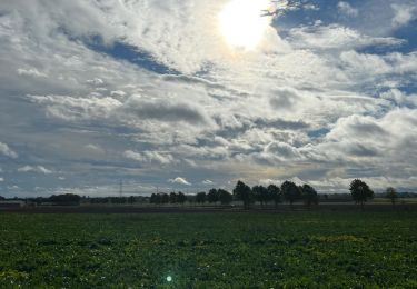
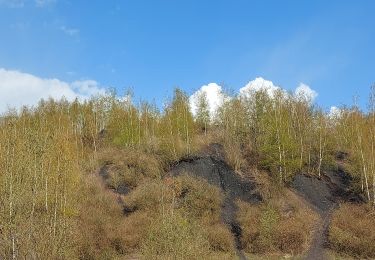
Voilà une randonnée au départ de Ransart pour vous faire découvrir la région entre les campagnes et les bois avec un passage sur les terrils de la région .une belle randonnée qui aux fil des senties vous ravira Une trace très variée.


Senderismo
Senderismo
Senderismo
Bici de montaña
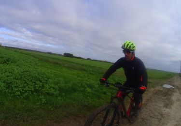
Bici de montaña
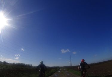
Bici de montaña
Bici de montaña
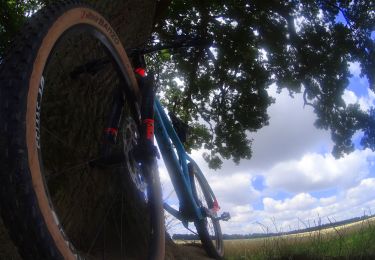
Bici de montaña
Bici de montaña