


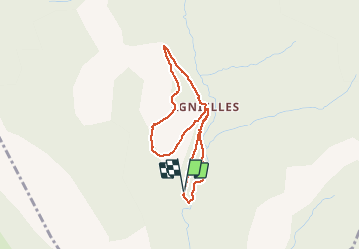

8,1 km | 16,2 km-effort

Les Hautes Alpes à découvrir ! GUIDE+


Aplicación GPS de excursión GRATIS
 SityTrail
IGN / Institutos geográficos
SityTrail World
El mundo es suyo
Ruta A pie de 3,4 km a descubrir en Provenza-Alpes-Costa Azul, Altos Alpes, Aspres-sur-Buëch. Esta ruta ha sido propuesta por Camping Les Rives du Lac.
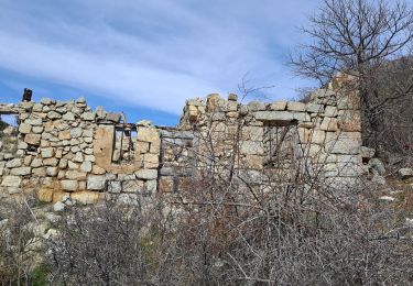
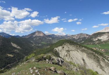
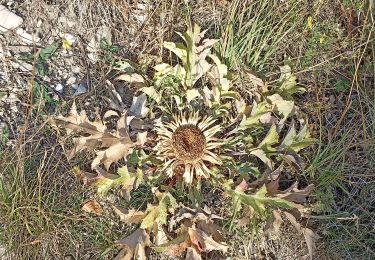
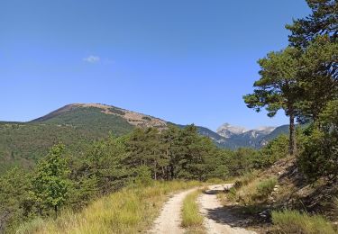
Petite boucle d'accès facile idéale en famille et en grande partie ombragée. Idéal pour un pique-nique en famille.
Départ : Parking 500 mètres avant le village d'Agnielles


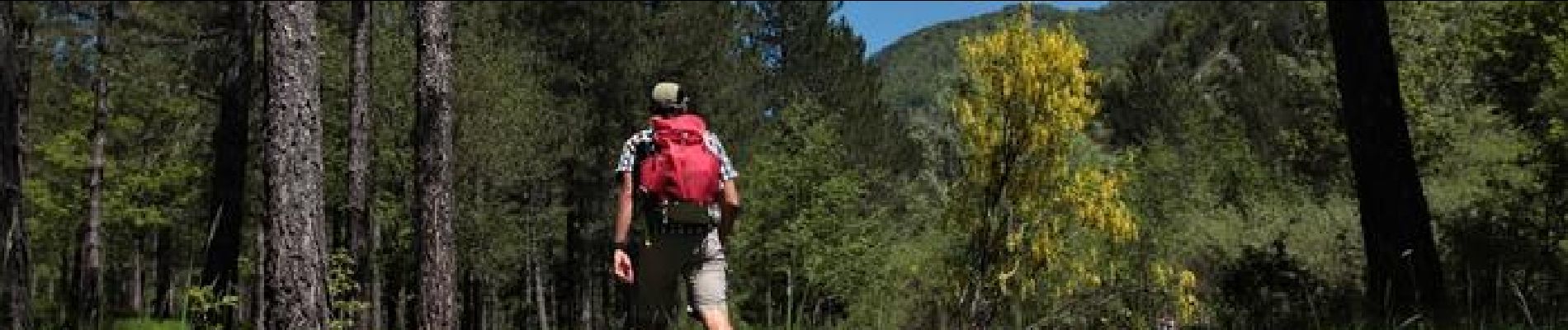
Senderismo

Senderismo

Senderismo
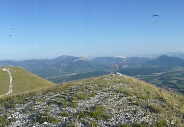
Senderismo
Senderismo
Senderismo
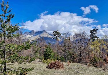
Senderismo
Senderismo
Bici de montaña