


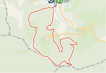

15,6 km | 25 km-effort

Usuario


Aplicación GPS de excursión GRATIS
 SityTrail
IGN / Institutos geográficos
SityTrail World
El mundo es suyo
Ruta Senderismo de 11,2 km a descubrir en Gran Este, Vosgos, Ventron. Esta ruta ha sido propuesta por margotte.
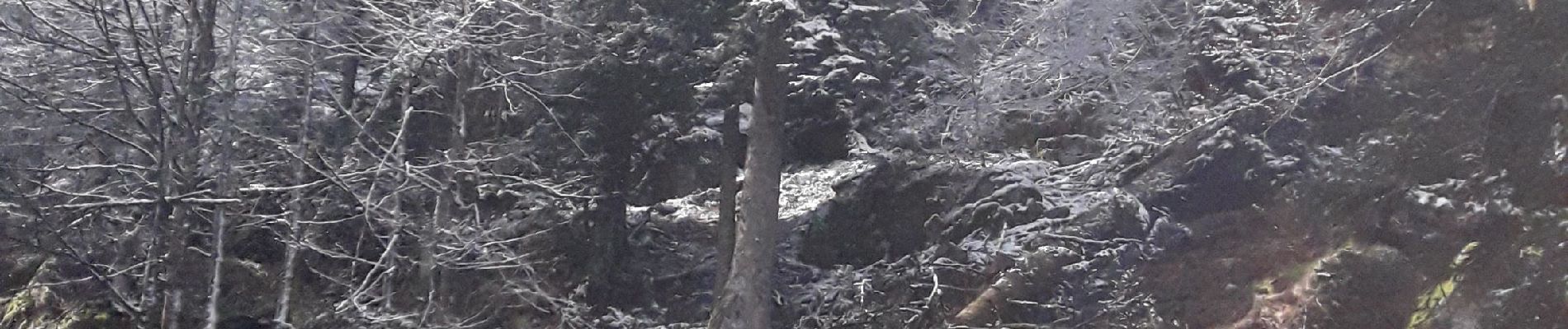
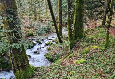
de beaux chemins et sentiers, bien entretenus par le club Vosgiens de Ventron. Forêt, chaume, points de vue, tourbière...à se régaler.


Senderismo

Raquetas de nieve

Senderismo

Senderismo

Senderismo

A pie

A pie
Senderismo
Senderismo