


11,8 km | 15,4 km-effort


Usuario


Aplicación GPS de excursión GRATIS
 SityTrail
IGN / Institutos geográficos
SityTrail World
El mundo es suyo
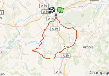
Ruta Bicicleta de 106 km a descubrir en Borgoña-Franco Condado, Jura, Dole. Esta ruta ha sido propuesta por albert39.
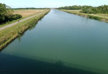
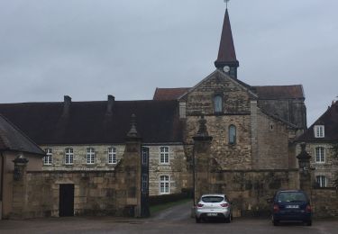
Superbe après midi ensoleillée, départ Dole, Montbarrey, Ounans, la Ferté, Aumont, Champrougier, Chaumergy (variante à faire Beauvernois, on gagne 0,5 km), Bellevesvre, Pierre de Bresse (pose et casse croûte au château), retour par Authumes et Neublans, Longwy, Peseux, Champdivers et la route habituelle Tavaux et canal.

Senderismo
Senderismo
Bici de carretera
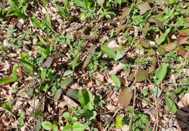
Senderismo
Senderismo
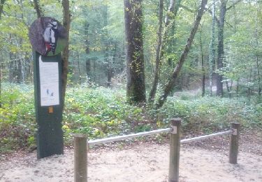
Senderismo
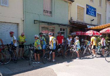
Bicicleta
Marcha nórdica