


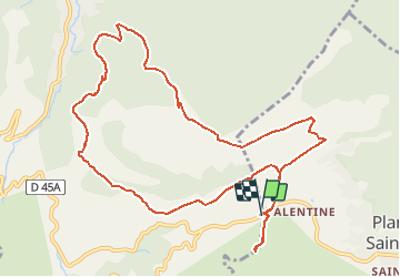

11,7 km | 18,6 km-effort

Usuario


Aplicación GPS de excursión GRATIS
 SityTrail
IGN / Institutos geográficos
SityTrail World
El mundo es suyo
Ruta A pie de 12,8 km a descubrir en Provenza-Alpes-Costa Azul, Bocas del Ródano, Auriol. Esta ruta ha sido propuesta por cdanielrando.
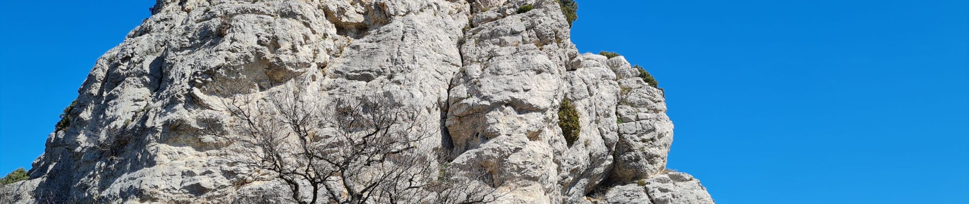
Belle randonnée, avec vue sur Le Garlaban, la ste Victoire; le mt Olympe, la chaine de la ste Baume. De la tour de Cauvin, on peut voir la presque totalité du circuit, l'effort est bien récompensé


Senderismo

Senderismo

Senderismo

Senderismo

Senderismo

Bici de montaña

Senderismo

Senderismo

Senderismo