


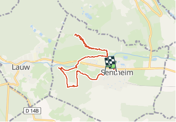

19,9 km | 34 km-effort

Usuario


Aplicación GPS de excursión GRATIS
 SityTrail
IGN / Institutos geográficos
SityTrail World
El mundo es suyo
Ruta Senderismo de 7,7 km a descubrir en Gran Este, Alto Rin, Sentheim. Esta ruta ha sido propuesta por helmut68.
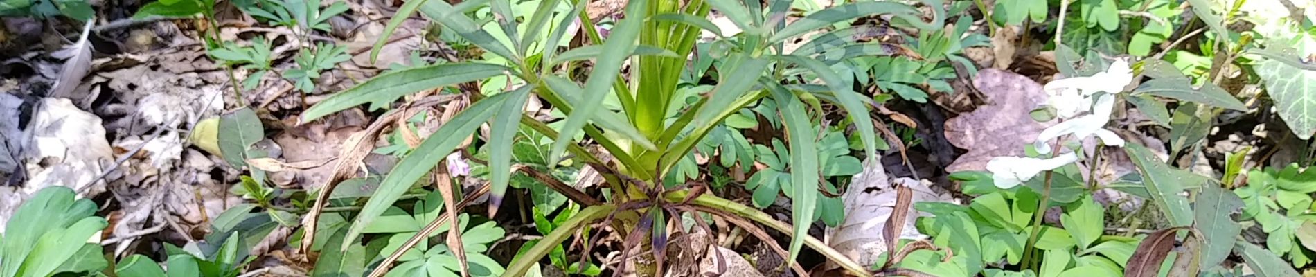
Sortie découverte faune et flore autour de Sentheim ou les élèves ont pu voir ,toucher,sentir mais aussi profiter d'une belle journée ensoleillée ...


Senderismo

Senderismo

Senderismo

A pie

A pie

Senderismo

Senderismo

Senderismo
