


17,8 km | 23 km-effort

Vivez Explore Meuse GUIDE+


Aplicación GPS de excursión GRATIS
 SityTrail
IGN / Institutos geográficos
SityTrail World
El mundo es suyo
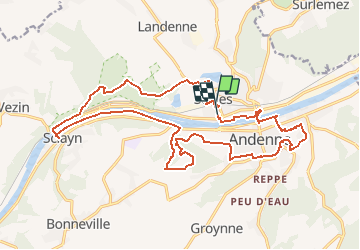
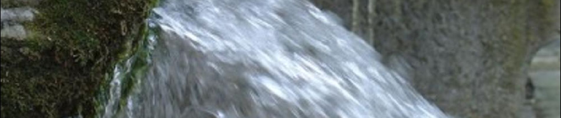
Ruta Bici de montaña de 21 km a descubrir en Valonia, Namur, Andenne. Esta ruta ha sido propuesta por Maison du Tourisme Explore Meuse.
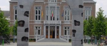
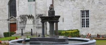
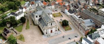
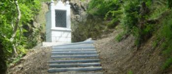
Chaine en Chêne est une randonnée sportive VTT automnale, plutôt réservée aux amateurs de longues distances, tout en proposant un niveau technique fort appréciable, ces randonnées de novembre ont pour principe de réunir sur une superficie réduite (tous les circuits tournent autour du centre-ville d'Andenne) des parcours alliant difficultés, gros dénivelés, technique, descentes fun et nouvelles traces. Ces tracés ont été dessiné par l'association andennaise VTT Evasion.


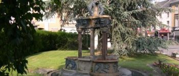
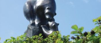
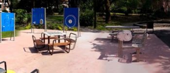
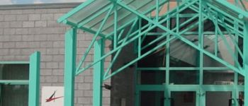
25 fotos en total. Haga clic en una foto para mostrarlas todas en la galería.

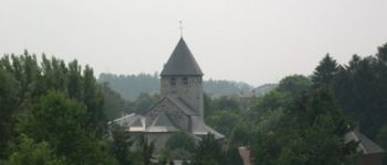
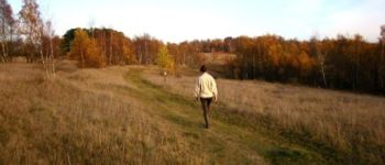
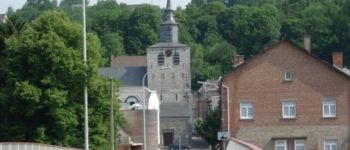
Senderismo

Senderismo

Senderismo

Senderismo

Senderismo

Senderismo

Bici de montaña

Bici de montaña

Bici de montaña