


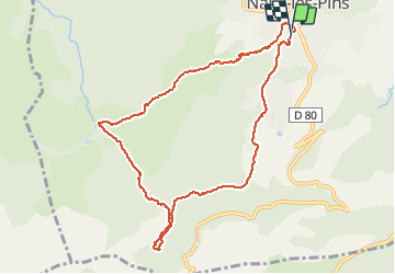

8,4 km | 15,5 km-effort

Usuario


Aplicación GPS de excursión GRATIS
 SityTrail
IGN / Institutos geográficos
SityTrail World
El mundo es suyo
Ruta Senderismo de 10 km a descubrir en Provenza-Alpes-Costa Azul, Var, Nans-les-Pins. Esta ruta ha sido propuesta por famillerudent.
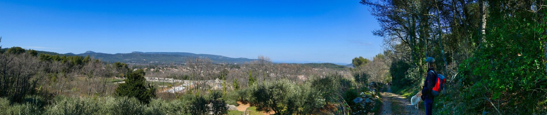
petite boucle au depart de nans a éviter le samedi et le dimanche à cause du monde .attention l'accés à la riviere est désormais interdit (à cause du monde) et les chiens sont à tenir en laisse le long de l'huveaune
bonne ballade


Senderismo

Senderismo

Senderismo

Senderismo

Senderismo

Senderismo

Senderismo

A pie

Senderismo