


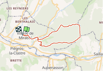

14,9 km | 25 km-effort

Usuario GUIDE


Aplicación GPS de excursión GRATIS
 SityTrail
IGN / Institutos geográficos
SityTrail World
El mundo es suyo
Ruta Senderismo de 15,8 km a descubrir en Auvergne-Rhône-Alpes, Drôme, Mirabel-et-Blacons. Esta ruta ha sido propuesta por chancha.
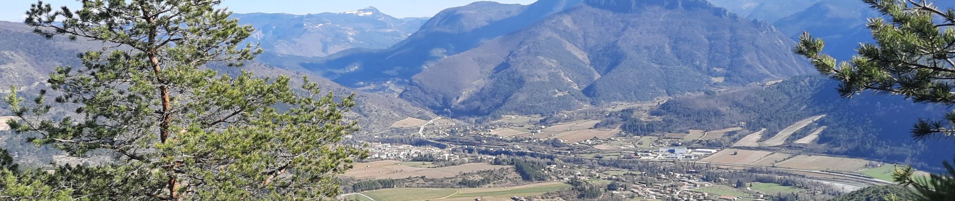
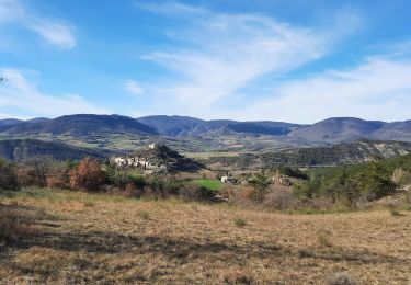
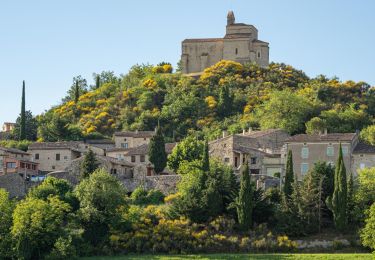
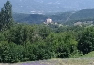
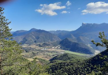
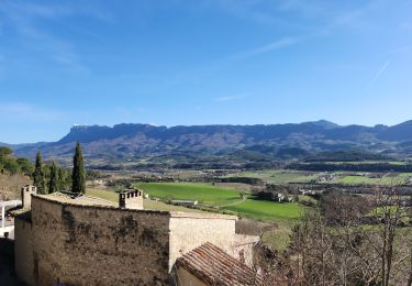
Belle restauration du village, de très beaux panoramas.Rando tranquille offrant de belles vues sur le synclinal de Saou.


Senderismo
Senderismo
Senderismo
Senderismo
Senderismo

Bici de montaña
Senderismo
Senderismo

Senderismo