


13,3 km | 16,4 km-effort

Usuario


Aplicación GPS de excursión GRATIS
 SityTrail
IGN / Institutos geográficos
SityTrail World
El mundo es suyo
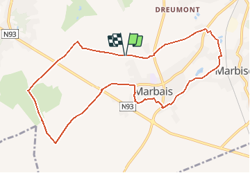
Ruta Senderismo de 9,7 km a descubrir en Valonia, Brabante Valón, Villers-la-Ville. Esta ruta ha sido propuesta por Chantheys.
Cette randonnée de 9,7km est un mix de « Golf de la Bruyère au départ du Camp » et « Boucle du Camp au Châtelet »
Profiter de la campagne brabançonne autour de Marbais et passage dans le village.
Sentiers, chemins de terre et chemins revêtus à circulation rurale.
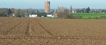
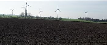
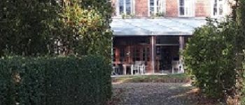
Court passage dans le Golf de la Bruyère et découverte du Château de Cognée
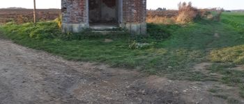
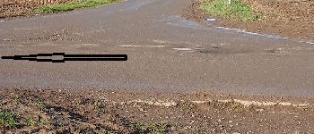
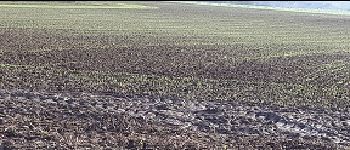
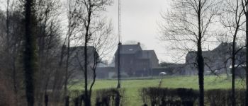
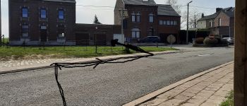
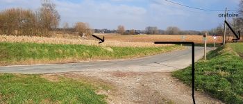
 – Golf de La Bruyère – Château de Cognée - Photo 1")
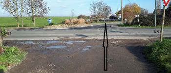
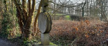
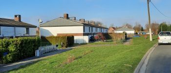
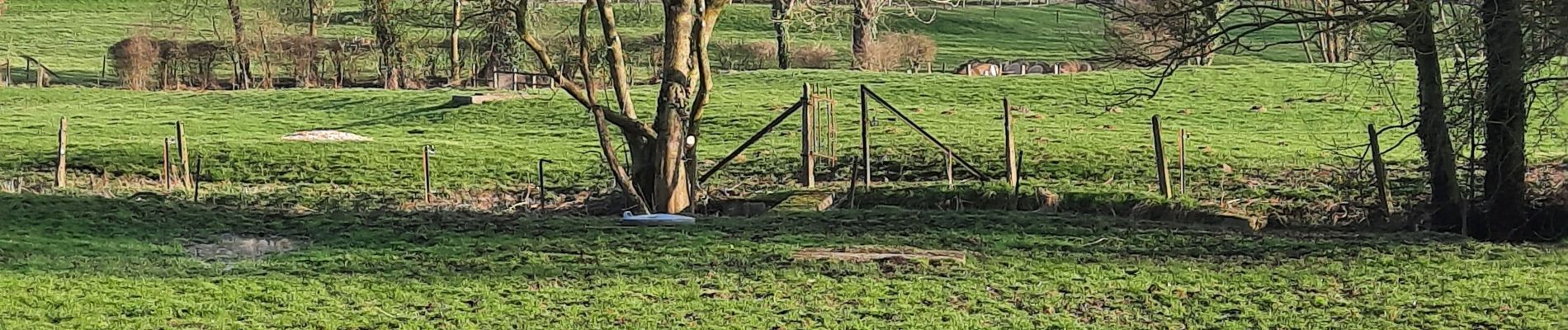
 – Golf de La Bruyère – Château de Cognée - Photo 2")
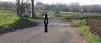
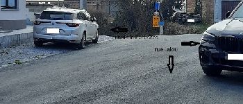
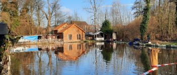
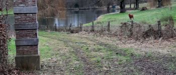
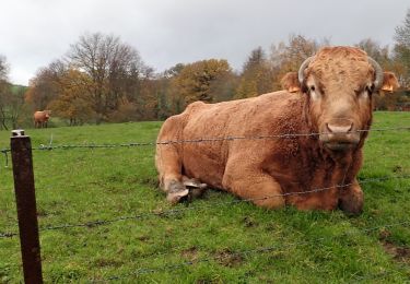
 – Golf de La Bruyère – Château de Cognée - Photo 3")
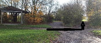
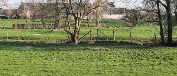
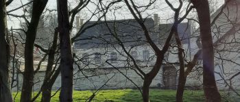
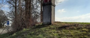
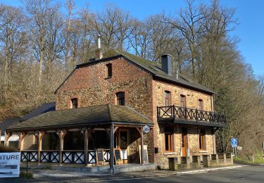
 – Golf de La Bruyère – Château de Cognée - Photo 4")
 – Golf de La Bruyère – Château de Cognée - Photo 5")
 – Golf de La Bruyère – Château de Cognée - Photo 6")
 – Golf de La Bruyère – Château de Cognée - Photo 7")
 – Golf de La Bruyère – Château de Cognée - Photo 8")
 – Golf de La Bruyère – Château de Cognée - Photo 9")
 – Golf de La Bruyère – Château de Cognée - Photo 10")
 – Golf de La Bruyère – Château de Cognée - Photo 11")
 – Golf de La Bruyère – Château de Cognée - Photo 12")
 – Golf de La Bruyère – Château de Cognée - Photo 13")
 – Golf de La Bruyère – Château de Cognée - Photo 14")

Senderismo

Senderismo

Senderismo

Senderismo

Senderismo

Senderismo

Senderismo
Senderismo
Senderismo