


15,9 km | 20 km-effort

Usuario GUIDE


Aplicación GPS de excursión GRATIS
 SityTrail
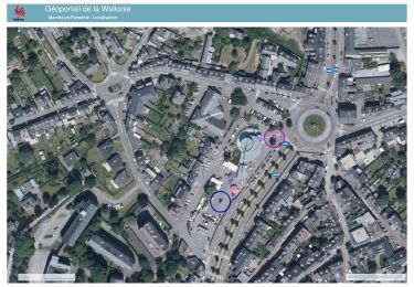
IGN / Institutos geográficos
SityTrail World
El mundo es suyo
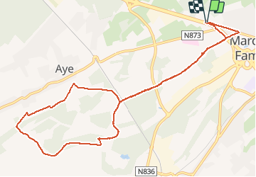
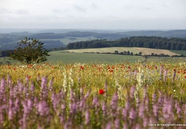
Ruta Senderismo de 11 km a descubrir en Valonia, Luxemburgo, Marche-en-Famenne. Esta ruta ha sido propuesta por Michel1963.
Superbe balade en Famenne en partie sur le GR 577.
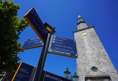
!!! Attention : Éviter le départ le long de la N4 jugé trop dangereux à cause du passage proche des voitures (pas de trottoir) et lui préférer le chemin emprunté au retour lors du dernier km !!!
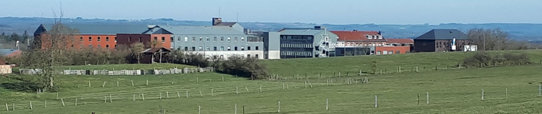
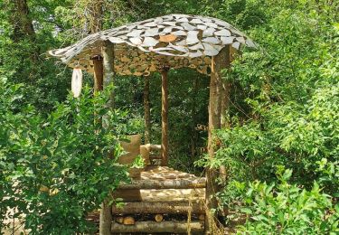
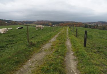
 - Photo 1")
 - Photo 2")
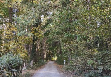
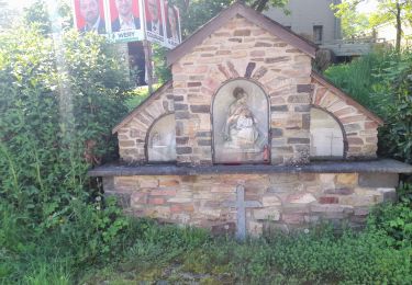
 - Photo 3")
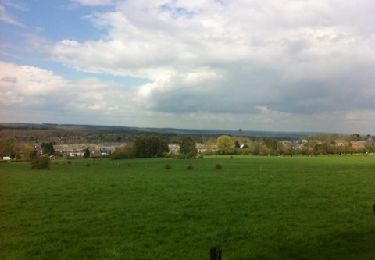
 - Photo 4")
 - Photo 5")
A pie
Senderismo
Senderismo
Senderismo
Senderismo
Senderismo
Senderismo
Senderismo
Senderismo