


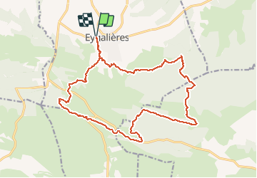

16,3 km | 21 km-effort

Usuario


Aplicación GPS de excursión GRATIS
 SityTrail
IGN / Institutos geográficos
SityTrail World
El mundo es suyo
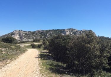
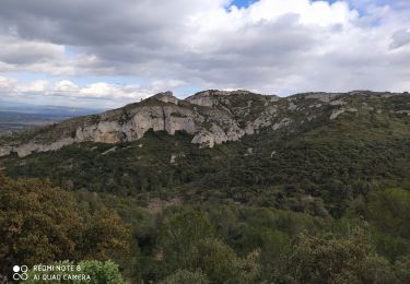
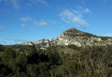
Ruta Senderismo de 21 km a descubrir en Provenza-Alpes-Costa Azul, Bocas del Ródano, Eygalières. Esta ruta ha sido propuesta por MarcLEBARON.
Boucle.
Aucun difficulté réelle (si ce n'est un peu de longueur). Certains secteurs sont mêmes "faciles" plutôt "roulants".
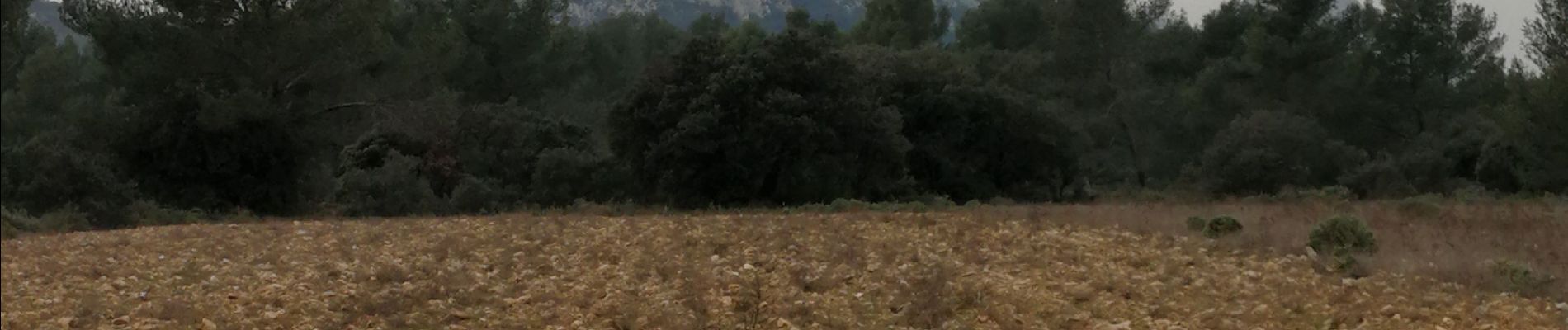
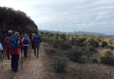
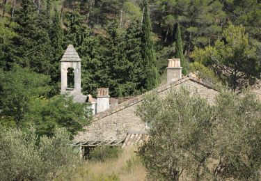
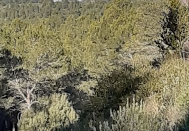
Beaux paysages, mélange de pistes et sentiers.


Senderismo
Senderismo
Senderismo

Senderismo
Senderismo
Senderismo
Senderismo
Senderismo
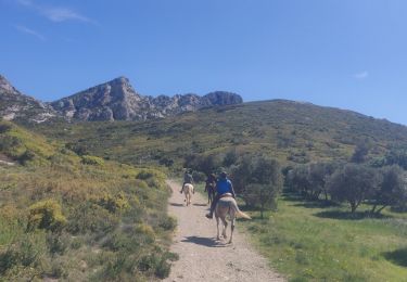
Paseo ecuestre