


9,5 km | 12 km-effort

Usuario GUIDE


Aplicación GPS de excursión GRATIS
 SityTrail
IGN / Institutos geográficos
SityTrail World
El mundo es suyo
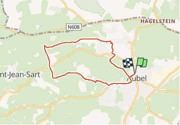
Ruta Senderismo de 6,5 km a descubrir en Valonia, Lieja, Aubel. Esta ruta ha sido propuesta por pierreh01.
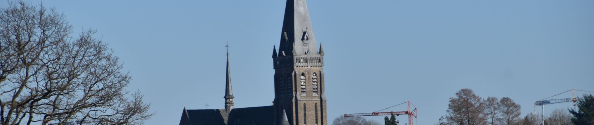
Balade balisée (losange rouge) de la Maison du Tourisme du Pays de Herve, surnommée "Balade de la Bel".
Magnifique parcours effectué ce dimanche 28 février 2021 sous un magnifique soleil printanier, sans réelle difficulté (si ce n'est une petite portion de chemin dans la boue).
Avec de très belles vues à regarder et immortaliser.


Senderismo

Senderismo

Senderismo

Senderismo

Senderismo

Senderismo

Senderismo

Senderismo
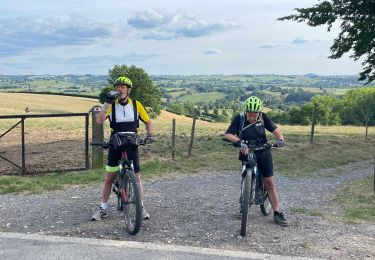
Bici de montaña