


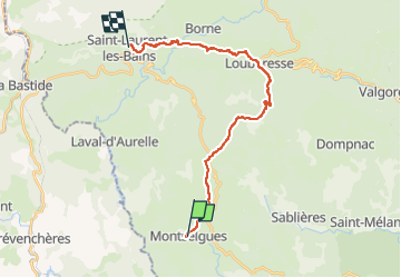

11,4 km | 14,4 km-effort

Usuario


Aplicación GPS de excursión GRATIS
 SityTrail
IGN / Institutos geográficos
SityTrail World
El mundo es suyo
Ruta Senderismo de 22 km a descubrir en Auvergne-Rhône-Alpes, Ardecha, Montselgues. Esta ruta ha sido propuesta por Maryma.
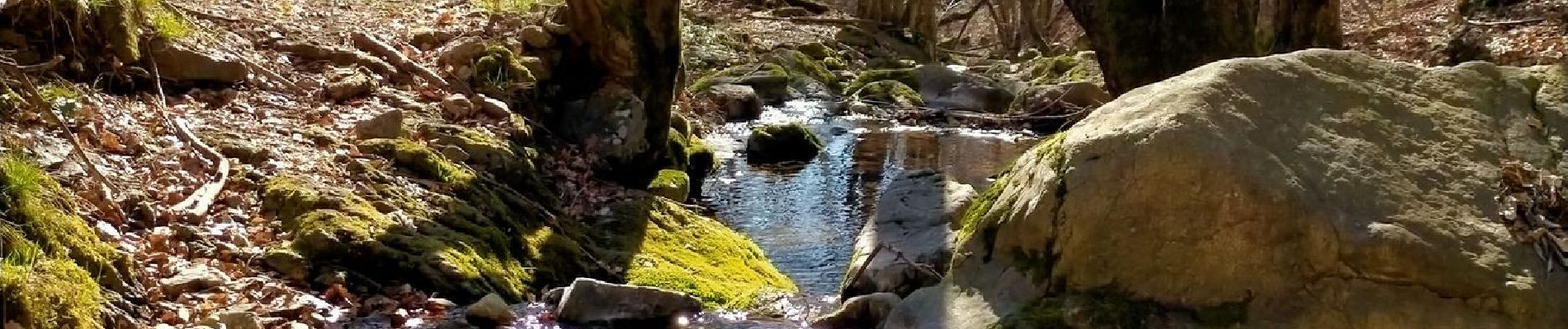
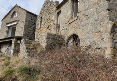
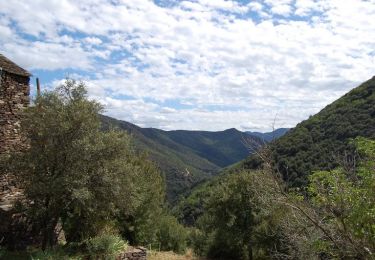
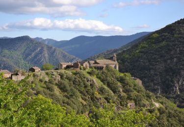
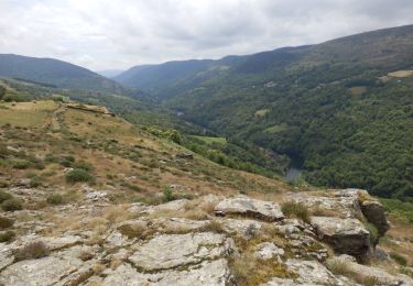
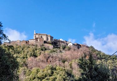
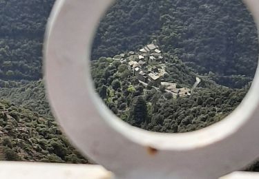
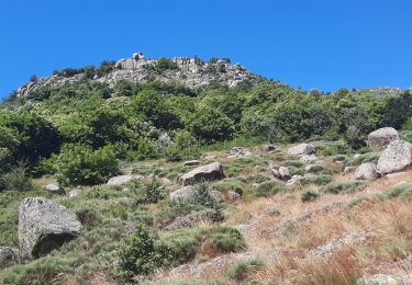
De très beaux paysages.
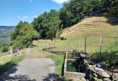
Pas de difficulté particulière si ce n'est la longueur rapportée aux dénivelés.


Senderismo
Senderismo
Senderismo
Senderismo
Senderismo

Senderismo
Senderismo
Senderismo
Senderismo