


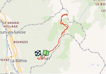

14,1 km | 31 km-effort

Usuario GUIDE


Aplicación GPS de excursión GRATIS
 SityTrail
IGN / Institutos geográficos
SityTrail World
El mundo es suyo
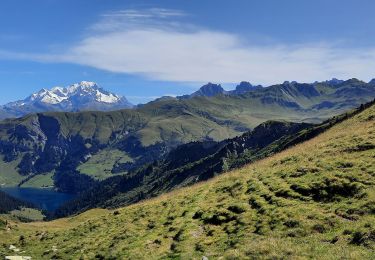
Ruta Esquí de fondo de 16,3 km a descubrir en Auvergne-Rhône-Alpes, Saboya, La Bâthie. Esta ruta ha sido propuesta por nadd73.
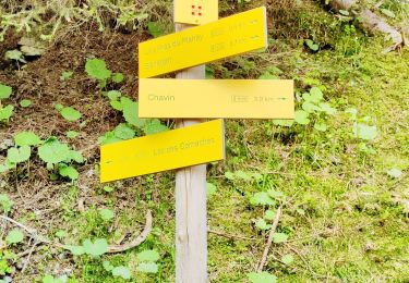
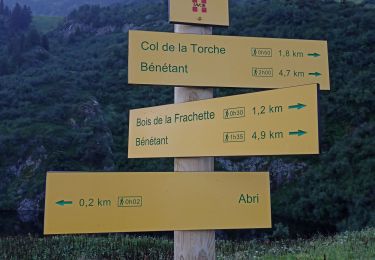
Du Daru. chemin forestier très long jusqu'à la Ravoire.
Il vaut mieux partir d'Arêches.Sinin très beau panorama.


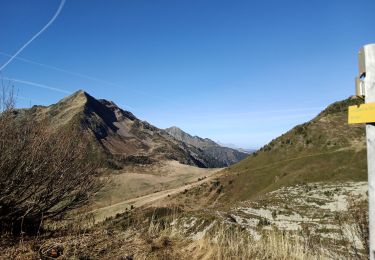
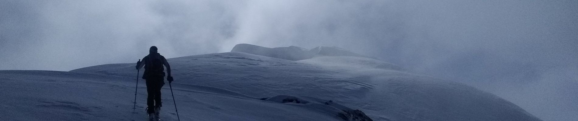
Senderismo
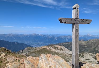
Senderismo
Senderismo
Senderismo
Senderismo
Senderismo

Senderismo
Ruta
Senderismo