


8,7 km | 16,6 km-effort

Usuario


Aplicación GPS de excursión GRATIS
 SityTrail
IGN / Institutos geográficos
SityTrail World
El mundo es suyo
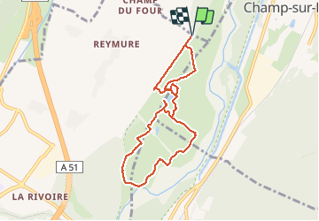
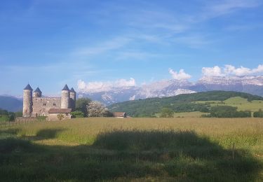
Ruta Marcha nórdica de 8,1 km a descubrir en Auvergne-Rhône-Alpes, Isère, Varces-Allières-et-Risset. Esta ruta ha sido propuesta por Emelle.
Attention cela peut être paumatoire...
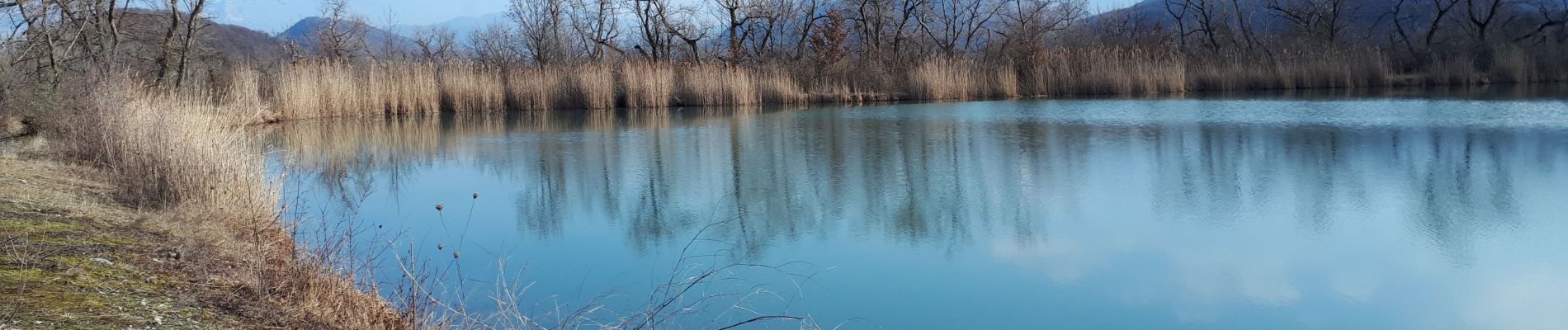
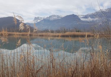
Passer à côté des 3 étangs vaut le détour.
Quelques portions courtes avec de gros galets peu propice à la MN.
A refaire au printemps avec les fleurs en faisant un circuit un peu différent sur la fin.


Senderismo

Senderismo
Senderismo
Senderismo
Marcha nórdica
Senderismo
Senderismo
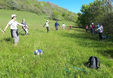
Marcha nórdica
Marcha nórdica