


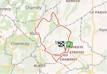

14,3 km | 19,4 km-effort


Usuario


Aplicación GPS de excursión GRATIS
 SityTrail
IGN / Institutos geográficos
SityTrail World
El mundo es suyo
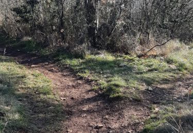
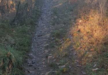
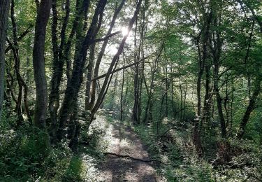
Ruta Senderismo de 14 km a descubrir en Borgoña-Franco Condado, Saona y Loira, Mercurey. Esta ruta ha sido propuesta por pensionisten71.
balade Vierge de Mercurey Chamilly
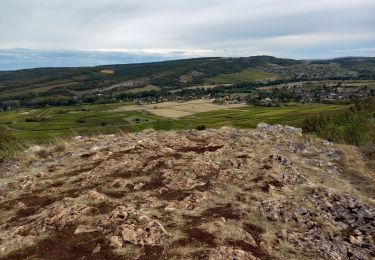
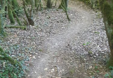
Aluze Touches bois chemin en bordure de vignes.
départ juste au-dessus de la mairie.

Senderismo
Senderismo
Senderismo
Senderismo
Senderismo
Senderismo
Senderismo
Senderismo
Senderismo