


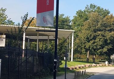
 - Photo 21")
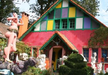
 - Photo 22")

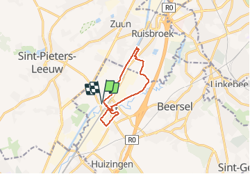
7,6 km | 9,3 km-effort

Usuario


Aplicación GPS de excursión GRATIS
 SityTrail
IGN / Institutos geográficos
SityTrail World
El mundo es suyo
Ruta Senderismo de 8,5 km a descubrir en Flandes, Brabante Flamenco, Beersel. Esta ruta ha sido propuesta por luckybiker.
Fait le 04/02/2021
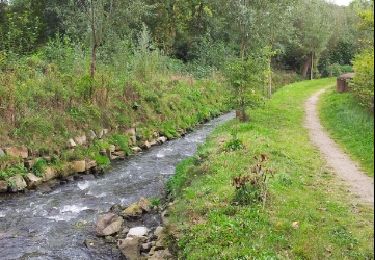
Balade au bord du canal et dans la campagne entre l'autoroute et le chemin de fer dans la vallée de la Senne.
Découverte du centre de Lot avec la rénovation en logement du quartier industriel central.
 - Photo 1")
 - Photo 2")
 - Photo 3")
 - Photo 4")
 - Photo 5")
 - Photo 6")
 - Photo 7")
 - Photo 8")
 - Photo 9")
 - Photo 10")
 - Photo 11")
 - Photo 12")
 - Photo 13")
 - Photo 14")
 - Photo 15")
 - Photo 16")
 - Photo 17")
 - Photo 18")
 - Photo 19")
 - Photo 20")
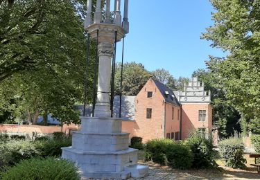
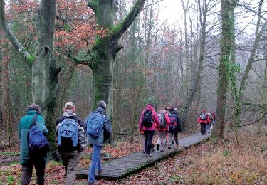
22 fotos en total. Haga clic en una foto para mostrarlas todas en la galería.

Senderismo
Senderismo

Senderismo
Senderismo
Senderismo

Senderismo

Senderismo
Senderismo
Senderismo