


25 km | 58 km-effort


Usuario


Aplicación GPS de excursión GRATIS
 SityTrail
IGN / Institutos geográficos
SityTrail World
El mundo es suyo
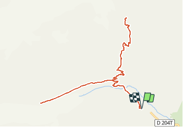
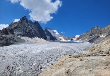
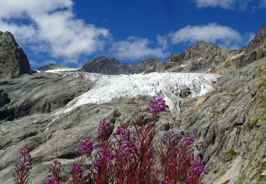
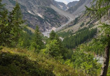
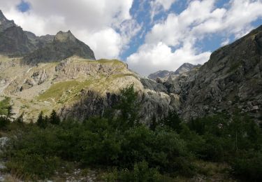
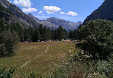
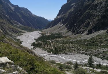
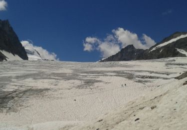
Ruta Senderismo de 13,3 km a descubrir en Provenza-Alpes-Costa Azul, Altos Alpes, Vallouise-Pelvoux. Esta ruta ha sido propuesta por Zoé Hebinger.
Un endroit incroyable au départ du prés de madame Carle à 8h30 le 27 Juillet 2020, chemin très bien indiqué.
Cependant il faut partir tôt sur cette balade car très populaire en été, surtout du coté du glacier blanc, beaucoup moins de monde sur le chemin du glacier noir!

Senderismo
Senderismo
Senderismo
Senderismo
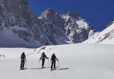
Esquí de fondo
Senderismo
Senderismo
Senderismo
Senderismo