


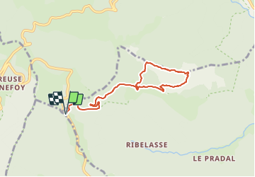

8,6 km | 11,9 km-effort


Usuario GUIDE


Aplicación GPS de excursión GRATIS
 SityTrail
IGN / Institutos geográficos
SityTrail World
El mundo es suyo
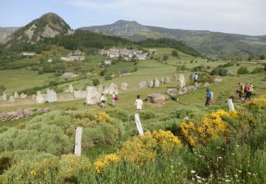
Ruta Senderismo de 7,9 km a descubrir en Auvergne-Rhône-Alpes, Ardecha, Saint-Martial. Esta ruta ha sido propuesta por thonyc.
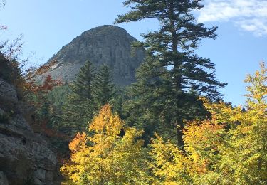
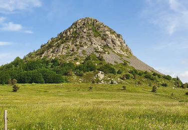
ATTENTION: descente raide du suc dans le pierrier. Elle est réservée à des randonneurs aguerris.
Faire demi-tour si appréhension.

Bici de montaña
Bici de montaña
Senderismo
Senderismo
Senderismo
Senderismo

Senderismo
Senderismo
Senderismo