


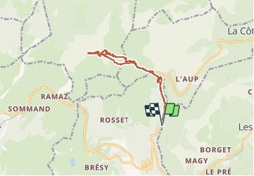

9,8 km | 21 km-effort


Usuario


Aplicación GPS de excursión GRATIS
 SityTrail
IGN / Institutos geográficos
SityTrail World
El mundo es suyo
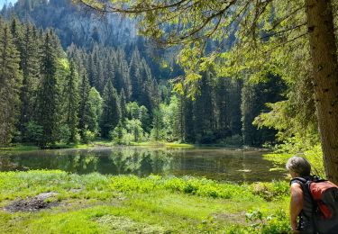
Ruta Esquí de fondo de 13,2 km a descubrir en Auvergne-Rhône-Alpes, Alta Saboya, Taninges. Esta ruta ha sido propuesta por jcolonnadelega.
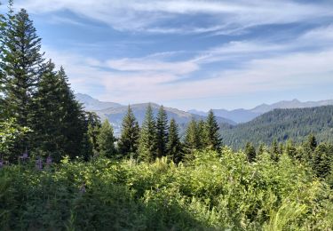
Senderismo
Senderismo
Senderismo
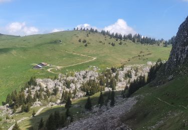
Senderismo
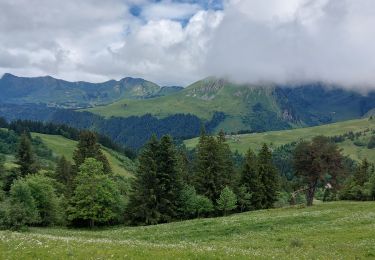
Senderismo
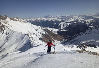
Esquí de fondo

Senderismo
Senderismo
Senderismo