


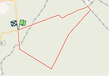

13 km | 14,9 km-effort

Usuario


Aplicación GPS de excursión GRATIS
 SityTrail
IGN / Institutos geográficos
SityTrail World
El mundo es suyo
Ruta Senderismo de 8,5 km a descubrir en Alta Francia, Norte, Saint-Amand-les-Eaux. Esta ruta ha sido propuesta por papiou.
rdv parking carrefour Mesnil (interrogé allée des hêtres-dreve de raismes) puis prendre dreve petit bouze pour rejoindre MF de suchemont puis coucou et revenir par dreve Notre dame en passant par étoiles suchemont et Cernay pour finir BB rose


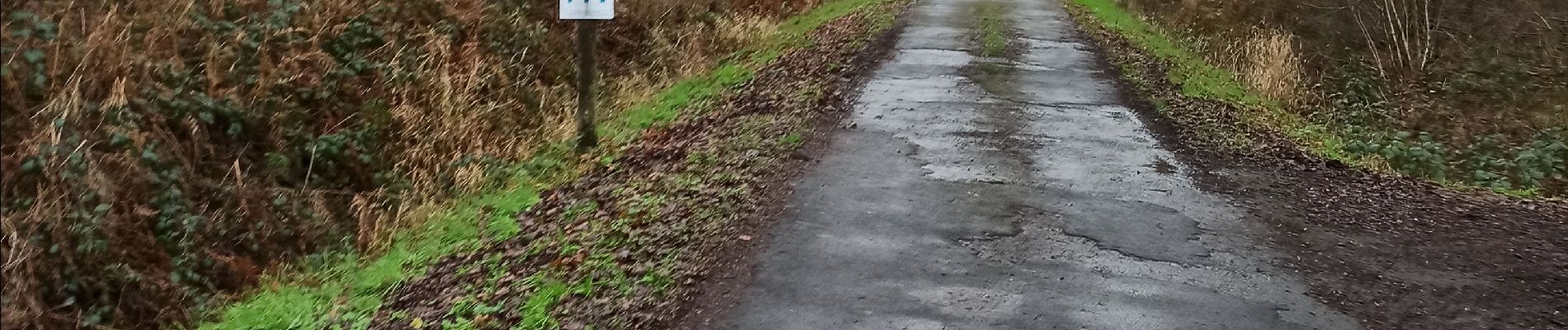
Senderismo

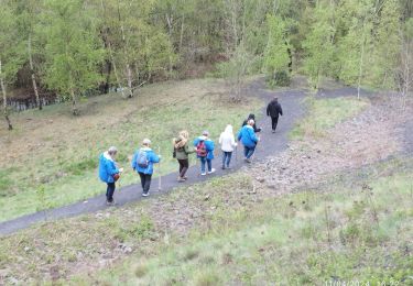
Senderismo

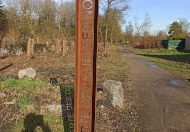
Senderismo
Senderismo

Senderismo
Senderismo

Senderismo

Senderismo

Senderismo