


11,7 km | 13,9 km-effort

Usuario


Aplicación GPS de excursión GRATIS
 SityTrail
IGN / Institutos geográficos
SityTrail World
El mundo es suyo
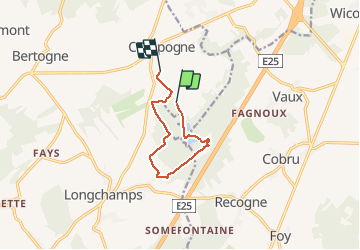
Ruta Senderismo de 7,3 km a descubrir en Valonia, Luxemburgo, Bertogne. Esta ruta ha sido propuesta por Tim0130.
Facilité de parking au point de départ et d'arrivée (en face du terrain de foot ou un peu plus loin le long du champ) ! Super promenade ô combien agréable dans une si belle région. Le lac présent sur le parcours un peu plus loin peut être un bel endroit ou s'arrêter en été.
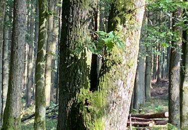
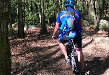
 - Photo 1")
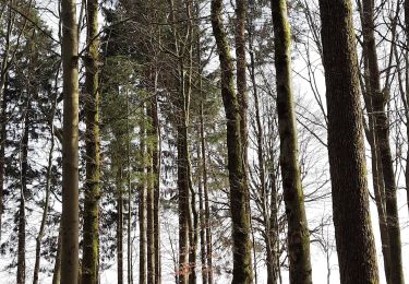
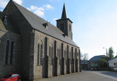
 - Photo 2")

Senderismo
Senderismo
A pie
Bici de montaña

Bici de montaña

A pie

A pie
A pie

A pie