


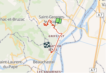

13,9 km | 22 km-effort

Usuario


Aplicación GPS de excursión GRATIS
 SityTrail
IGN / Institutos geográficos
SityTrail World
El mundo es suyo
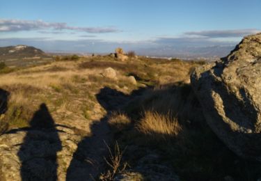
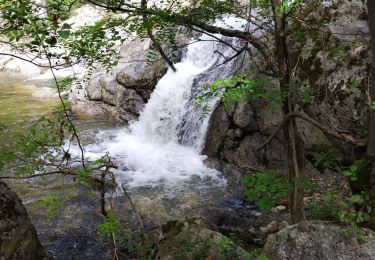
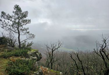
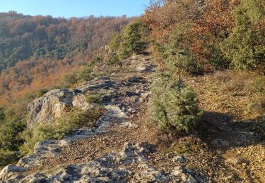
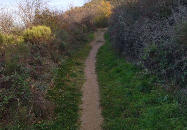
Ruta Senderismo de 9,3 km a descubrir en Auvergne-Rhône-Alpes, Ardecha, Saint-Georges-les-Bains. Esta ruta ha sido propuesta por balou07.
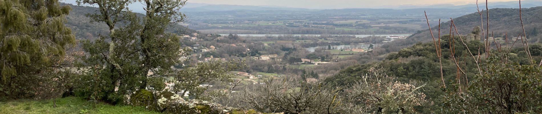
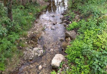
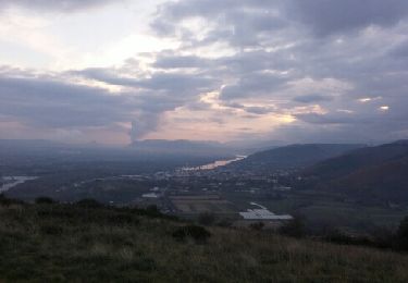
Petite balade vers les anciennes thermes de st Georges les bains et les cascades du Turzon

Senderismo
Senderismo
Senderismo

Senderismo
Senderismo
Senderismo
Senderismo
Senderismo
Senderismo