


11,4 km | 13,7 km-effort

Usuario GUIDE


Aplicación GPS de excursión GRATIS
 SityTrail
IGN / Institutos geográficos
SityTrail World
El mundo es suyo
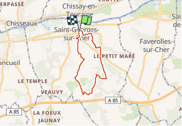
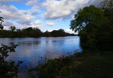
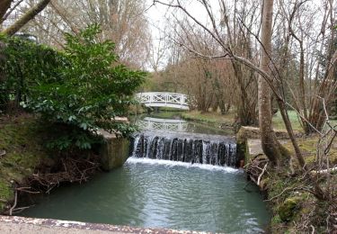
Ruta Senderismo de 10,1 km a descubrir en Centro, Loir y Cher, Saint-Georges-sur-Cher. Esta ruta ha sido propuesta por Orcal37.
Saint-Georges-sur-Cher - les Magasins - Montfourgon - le Moulin du Porteau - 10km 110m 2h25 - 2021 01 02


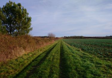
Senderismo
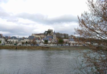
Senderismo
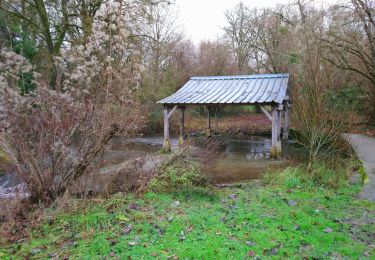
Senderismo
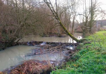
Senderismo
Senderismo
Senderismo
Senderismo
Senderismo

Senderismo