


14,7 km | 23 km-effort

Usuario


Aplicación GPS de excursión GRATIS
 SityTrail
IGN / Institutos geográficos
SityTrail World
El mundo es suyo
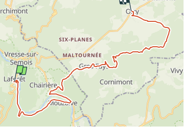
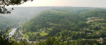
Ruta A pie de 18,3 km a descubrir en Valonia, Namur, Vresse-sur-Semois. Esta ruta ha sido propuesta por Tourisme5555.
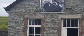
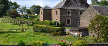
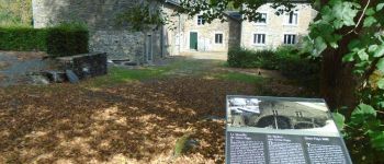
Deuxième étape de la randonnée "Se mouvoir et s'émouvoir au gré de l'Ardenne insoupçonnée" au coeur du Parc naturel de l'Ardenne méridionale reliant Laforêt à Oizy.
Roadbook téléchargeable ( https://tourisme.bievre.be/tourisme-bievre/information/se-mouvoir-et-s-emouvoir-au-gre-de-l-ardenne-inso ) ou disponible en version papier à l'office du tourisme de Bièvre évoquant les légendes, les échos ardennais et doté d'expériences multisensorielles.
Info: tourisme.bievre@proximus.be ou 061/29 20 92
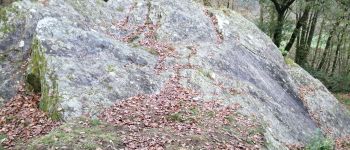
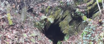
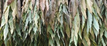
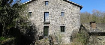
 Laforêt-Oizy - Photo 1")
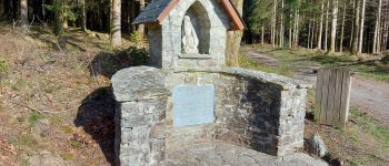
 Laforêt-Oizy - Photo 2")
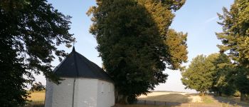
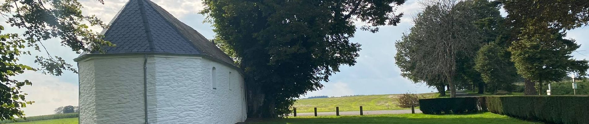
 Laforêt-Oizy - Photo 3")
 Laforêt-Oizy - Photo 4")
 Laforêt-Oizy - Photo 5")
 Laforêt-Oizy - Photo 6")

Senderismo

Senderismo

Senderismo

Senderismo

Senderismo

Senderismo

Senderismo

Senderismo

Senderismo