


9,8 km | 11,2 km-effort

Usuario


Aplicación GPS de excursión GRATIS
 SityTrail
IGN / Institutos geográficos
SityTrail World
El mundo es suyo
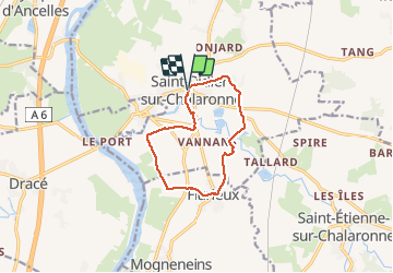
Ruta Senderismo de 9,8 km a descubrir en Auvergne-Rhône-Alpes, Ain, Saint-Didier-sur-Chalaronne. Esta ruta ha sido propuesta por Thomasdanielle.
D/A parking à côté de l'église
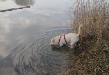
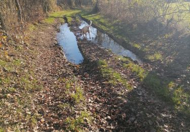
Cette marche est très agréable, je la recommande, elle est très facile et accessible à tous.
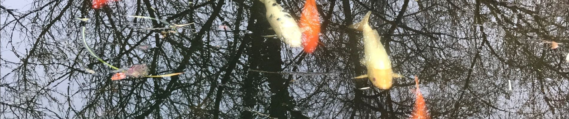
Il faut s'arrêter et visiter le "Jardin aquatique" au moulin des Vernes et y découvrir de nombreux et magnifiques poissons (période printemps/été est préférable).
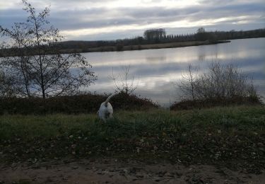
 - Photo 1")

Senderismo
Senderismo
Senderismo
Senderismo
Senderismo

Senderismo

Enganche
Senderismo
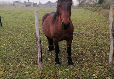
Paseo ecuestre