


13,3 km | 16,4 km-effort

Usuario


Aplicación GPS de excursión GRATIS
 SityTrail
IGN / Institutos geográficos
SityTrail World
El mundo es suyo
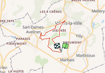
Ruta Senderismo de 10 km a descubrir en Valonia, Brabante Valón, Villers-la-Ville. Esta ruta ha sido propuesta por Chantheys.
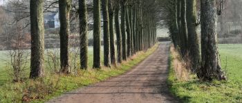
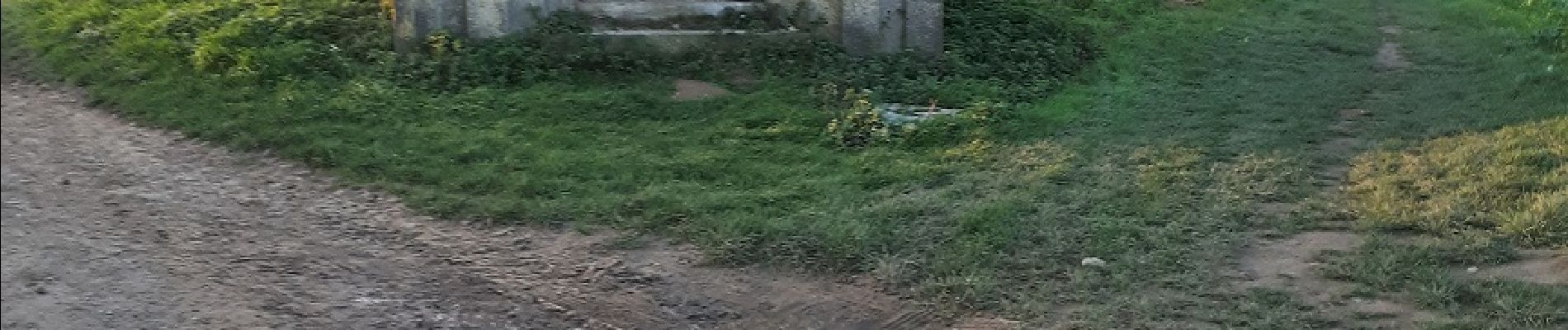
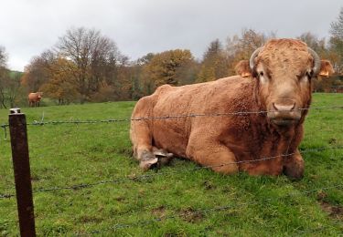
Balade dans la campagne brabançonne alternant champs de culture, prés, bois,.... majoritairement sur chemins de terre et sentiers, et quelques tronçons sur chemins villageois à faible circulation.
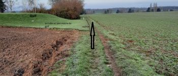
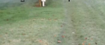
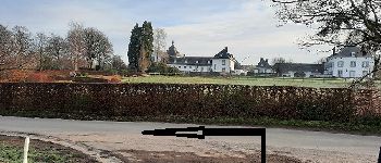
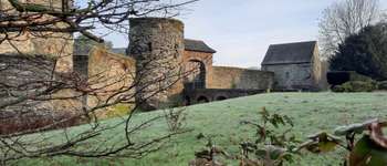
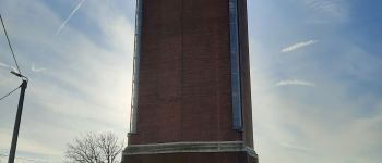
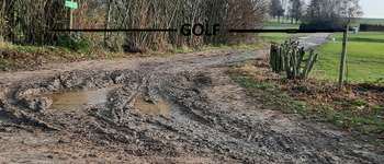
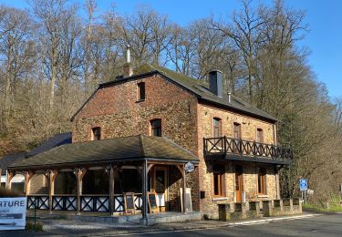
Passage dans le Golf de Rigenée , le long d'un ancien moulin (le Moulin d'Hollers), de la rivière Thyle, d'une ancienne forteresse (Le Châtelet) et du Château d'eau de Sart-Dames-Avelines.
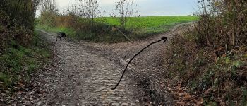
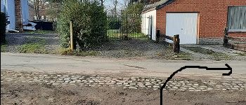
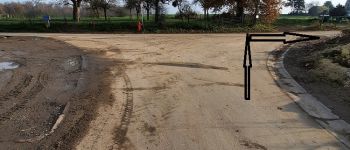
(Ne tenez pas compte des balisages que vous rencontrerez)
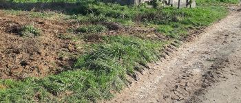
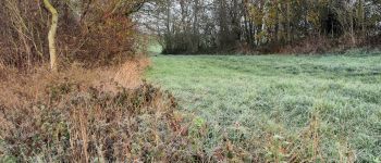
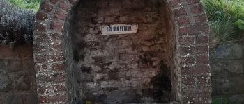
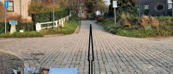
 au Châtelet - Photo 1")
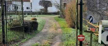
 au Châtelet - Photo 2")
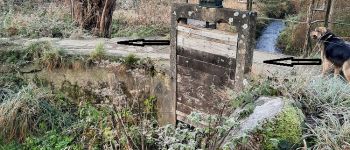
 au Châtelet - Photo 3")
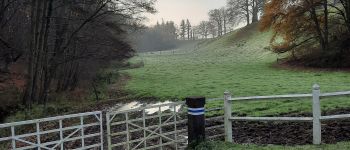
 au Châtelet - Photo 4")
 au Châtelet - Photo 5")
 au Châtelet - Photo 6")
 au Châtelet - Photo 7")
 au Châtelet - Photo 8")
 au Châtelet - Photo 9")
 au Châtelet - Photo 10")
 au Châtelet - Photo 11")
 au Châtelet - Photo 12")
 au Châtelet - Photo 13")
 au Châtelet - Photo 14")

Senderismo

Senderismo

Senderismo

Senderismo

Senderismo

Senderismo

Senderismo
Senderismo
Senderismo