


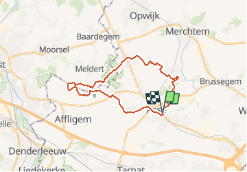


12,3 km | 14 km-effort

Usuario GUIDE


Aplicación GPS de excursión GRATIS
 SityTrail
IGN / Institutos geográficos
SityTrail World
El mundo es suyo
Ruta Senderismo de 25 km a descubrir en Flandes, Brabante Flamenco, Asse. Esta ruta ha sido propuesta por rvapeldo.
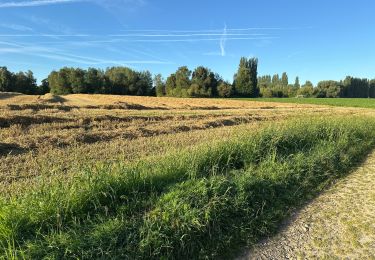
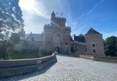
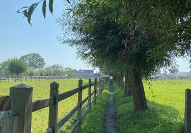
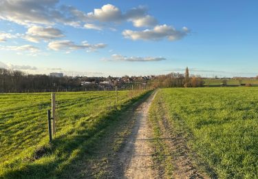
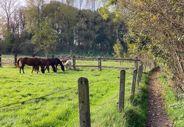
Parcours dans la campagne autour de Asse, parmi les pommiers, les champs de poireaux, de mais, les prés et les bois, dont le charmant Kravaalbos, et l’abbaye d’Afflighem.
Reis door het platteland rond Asse, tussen appelbomen, prei- en maïsvelden, weilanden en bossen, waaronder het charmante Kravaalbos en de abdij van Afflighem.


21 fotos en total. Haga clic en una foto para mostrarlas todas en la galería.

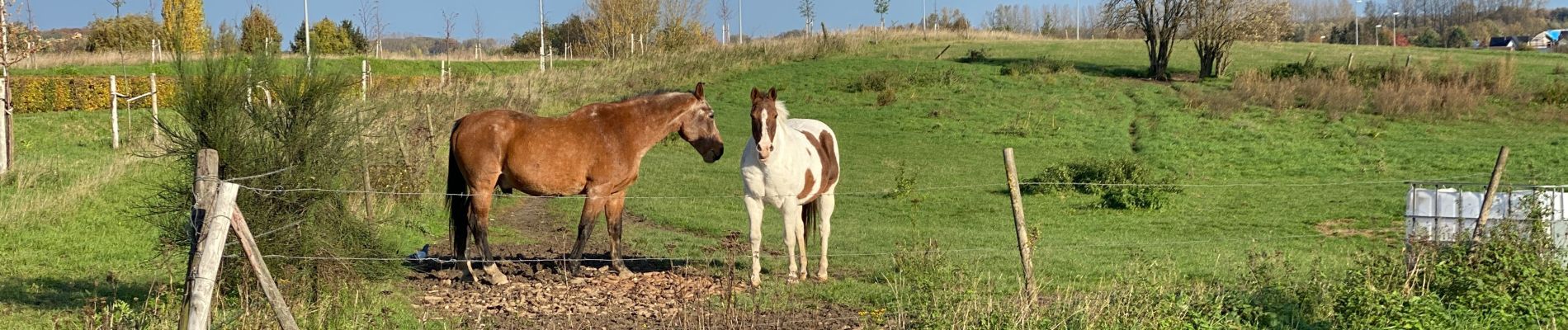
Paseo ecuestre
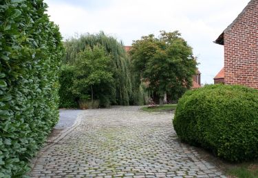
A pie
Senderismo
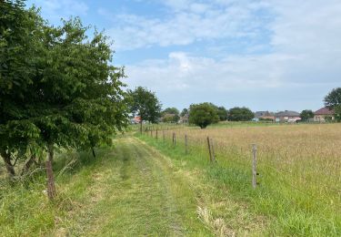
Senderismo
Senderismo
Senderismo
Senderismo
Senderismo
Senderismo