


 - Photo 21")
 - Photo 22")
 - Photo 23")
 - Photo 24")
 - Photo 25")
 - Photo 26")
 - Photo 27")
 - Photo 28")
 - Photo 29")
 - Photo 30")

11,2 km | 22 km-effort


Usuario


Aplicación GPS de excursión GRATIS
 SityTrail
IGN / Institutos geográficos
SityTrail World
El mundo es suyo
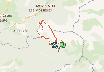
Ruta Senderismo de 12 km a descubrir en Provenza-Alpes-Costa Azul, Altos Alpes, Saint-Julien-en-Beauchêne. Esta ruta ha sido propuesta por Philindy26.
Départ du parking des Chabottes (1330 m) à Lus-La-Croix-Haute...
Géolocalisation (Google Maps) : https://goo.gl/maps/ut89nePWDMqPtLkx7 à 05140 Saint-Julien-en-Beauchêne.
Prendre la direction du vallon de Garnesier et montée par la Grande Côte sur Chamousset (2089 m).
Continuer sur le Grand Chamousset (1930 m) et le Petit Chamousset.
Retour par le roc de Rimat (1573 m), le Serre Sambue (1626 m) et le col de Pré Pinel (1452 m).
 - Photo 1")
 - Photo 2")
 - Photo 3")
 - Photo 4")
 - Photo 5")
 - Photo 6")
 - Photo 7")
 - Photo 8")
 - Photo 9")
 - Photo 10")
 - Photo 11")
 - Photo 12")
 - Photo 13")
 - Photo 14")
 - Photo 15")
 - Photo 16")
 - Photo 17")
 - Photo 18")
 - Photo 19")
 - Photo 20")
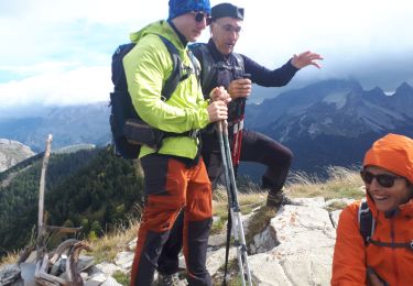
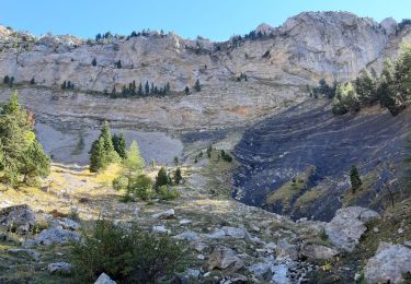
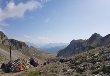
30 fotos en total. Haga clic en una foto para mostrarlas todas en la galería.

Senderismo

Senderismo
Senderismo
Senderismo
Senderismo
Senderismo
Senderismo

Senderismo
Senderismo