


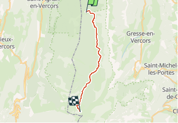

12,1 km | 23 km-effort


Usuario


Aplicación GPS de excursión GRATIS
 SityTrail
IGN / Institutos geográficos
SityTrail World
El mundo es suyo
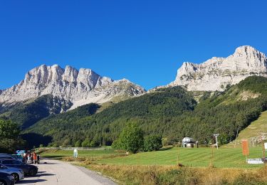
Ruta A pie de 14,5 km a descubrir en Auvergne-Rhône-Alpes, Isère, Saint-Andéol. Esta ruta ha sido propuesta por MathieuBourgois.
Cabane Jasse du Play 3km et 120D
Carrefour du la Chau 6.3km et 170D
Grande Cabane 11km et 260D
Cabane du Pré-Peyret 15km et 340D

Senderismo

Senderismo

Senderismo

Senderismo
Senderismo
Senderismo
Senderismo
Senderismo
Senderismo