![](/images/other/stat-length.png)
![Excursión A pie Valdeblore - Alpes jour 18: Saint Dalmas à Refuge des Cougourde - Photo](https://media.geolcdn.com/t/1900/400/ext.pjpeg?maxdim=2&url=https%3A%2F%2Fstatic1.geolcdn.com%2Fsiteimages%2Fupload%2Ffiles%2F1545311037marcheuse_200dpi.jpg)
Alpes jour 18: Saint Dalmas à Refuge des Cougourde
MathieuBourgois
Usuario
![Longitud](/images/other/stat-length.png)
Longitud
27 km
![Altitud máxima](https://static1.geolcdn.com/siteimages/upload/files/1508320355ic_sort_altitude_max_24dp.png)
Altitud máxima
2449 m
![Desnivel positivo](https://static1.geolcdn.com/siteimages/upload/files/1508320355ic_sort_den_pos_24dp.png)
Desnivel positivo
2020 m
![Km-Effort](/images/other/stat-length.png)
Km-Effort
51 km
![Altitud mínima](https://static1.geolcdn.com/siteimages/upload/files/1508320355ic_sort_altitude_min_24dp.png)
Altitud mínima
1281 m
![Desnivel negativo](https://static1.geolcdn.com/siteimages/upload/files/1508320355ic_sort_den_neg_24dp.png)
Desnivel negativo
1208 m
![Boucle](https://static1.geolcdn.com/siteimages/upload/files/16400158638029165_repeat_loop_refresh_sync_direction_icon.png)
Boucle
No
Fecha de creación :
2020-10-19 12:33:33.935
Última modificación :
2020-10-19 12:42:49.965
![A pie](https://static1.geolcdn.com/sitytour/trail-icons/100.png)
--
Dificultad : Difícil
![Escanee este código QR para abrir la excursión en la aplicación SityTrail](https://capi.geolives.com/qq0zvz2zws4bq2lad0pu/sitytour/trails/2581873/qr.png?size=200)
Aplicación GPS de excursión GRATIS
A propósito
Ruta A pie de 27 km a descubrir en Provenza-Alpes-Costa Azul, Alpes Marítimos, Valdeblore. Esta ruta ha sido propuesta por MathieuBourgois.
Descripción
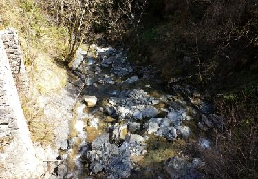
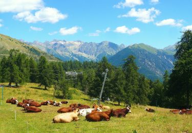
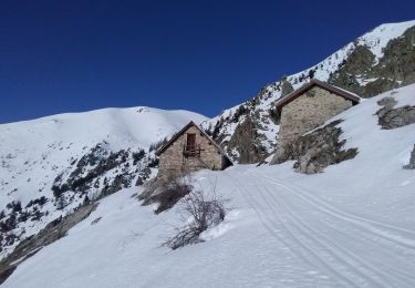
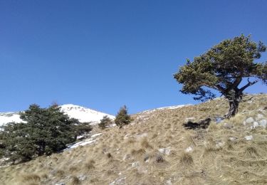
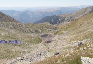
Col de Veillos 6km et 900D
Col de Barn 8.6km et 1150D
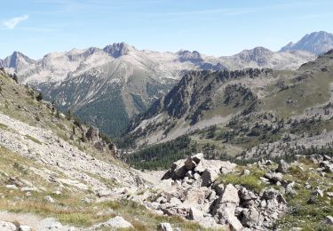
Col de Salèse 15km et 1350D
Refuge des Cougourde 27km et 2000D
Localización
País:
France
Región :
Provenza-Alpes-Costa Azul
Departamento/provincia :
Alpes Marítimos
Municipio :
Valdeblore
Localidad:
Unknown
Salida:(Dec)
Salida:(UTM)
356111 ; 4880830 (32T) N.
Comentarios
Excursiones cerca
![Excursión Senderismo Valdeblore - pepoiri - Photo](https://media.geolcdn.com/t/375/260/8ca18259-e53b-4625-8dc3-3afb9e53eb6b.jpg&format=jpg&maxdim=2)
![Senderismo Senderismo](https://static1.geolcdn.com/sitytour/trail-icons/101.png)
pepoiri
Senderismo
Muy fácil
(1)
Valdeblore,
Provenza-Alpes-Costa Azul,
Alpes Marítimos,
France
![](/images/other/stat-length.png)
7,8 km | 16,3 km-effort
5h 31min
![](https://static1.geolcdn.com/siteimages/upload/files/16400158638029165_repeat_loop_refresh_sync_direction_icon.png)
Sí
![Excursión Senderismo Venanson - La Malouna - Photo](https://media.geolcdn.com/t/375/260/ext.jpg?maxdim=2&url=https%3A%2F%2Fservices.sitytrail.com%2FGeolivesWS%2FDownloadMedia.ashx%3FTrailID%3D405887%26Media%3Dfix__20150409152656.jpg)
![Senderismo Senderismo](https://static1.geolcdn.com/sitytour/trail-icons/101.png)
La Malouna
Senderismo
Medio
(1)
Venanson,
Provenza-Alpes-Costa Azul,
Alpes Marítimos,
France
![](/images/other/stat-length.png)
10,7 km | 17,9 km-effort
5h 20min
![](https://static1.geolcdn.com/siteimages/upload/files/16400158638029165_repeat_loop_refresh_sync_direction_icon.png)
Sí
![Excursión A pie Valdeblore - Le Caïre Gros - Photo](https://media.geolcdn.com/t/375/260/3c6df4dd-1089-48da-8830-4c0973863251.jpeg&format=jpg&maxdim=2)
![A pie A pie](https://static1.geolcdn.com/sitytour/trail-icons/100.png)
Le Caïre Gros
A pie
Medio
Valdeblore,
Provenza-Alpes-Costa Azul,
Alpes Marítimos,
France
![](/images/other/stat-length.png)
9,8 km | 20 km-effort
4h 38min
![](https://static1.geolcdn.com/siteimages/upload/files/16400158638029165_repeat_loop_refresh_sync_direction_icon.png)
Sí
![Excursión A pie Venanson - Circuit du Conquet - Photo](https://media.geolcdn.com/t/375/260/e58595d6-e9ca-4e12-a313-f11c5e4c7d45.jpeg&format=jpg&maxdim=2)
![A pie A pie](https://static1.geolcdn.com/sitytour/trail-icons/100.png)
Circuit du Conquet
A pie
Medio
Venanson,
Provenza-Alpes-Costa Azul,
Alpes Marítimos,
France
![](/images/other/stat-length.png)
10,2 km | 21 km-effort
4h 45min
![](https://static1.geolcdn.com/siteimages/upload/files/16400158638029165_repeat_loop_refresh_sync_direction_icon.png)
Sí
![Excursión Senderismo Valdeblore - Les Lacs des Millefonts (Variante) - Photo](https://media.geolcdn.com/t/375/260/9ec3a33c-746a-4f95-a3bf-1bc95c27318a.jpg&format=jpg&maxdim=2)
![Senderismo Senderismo](https://static1.geolcdn.com/sitytour/trail-icons/101.png)
Les Lacs des Millefonts (Variante)
Senderismo
Difícil
Valdeblore,
Provenza-Alpes-Costa Azul,
Alpes Marítimos,
France
![](/images/other/stat-length.png)
10,1 km | 19,4 km-effort
4h 5min
![](https://static1.geolcdn.com/siteimages/upload/files/16400158638029165_repeat_loop_refresh_sync_direction_icon.png)
Sí
![Excursión Esquí de fondo Valdeblore - Pèpoiri et Petoumier - Photo](https://media.geolcdn.com/t/375/260/b5f7f954-f6d6-45d0-b44a-3f93e1cb0060.jpg&format=jpg&maxdim=2)
![Esquí de fondo Esquí de fondo](https://static1.geolcdn.com/sitytour/trail-icons/503.png)
Pèpoiri et Petoumier
Esquí de fondo
Medio
Valdeblore,
Provenza-Alpes-Costa Azul,
Alpes Marítimos,
France
![](/images/other/stat-length.png)
12,8 km | 31 km-effort
6h 44min
![](https://static1.geolcdn.com/siteimages/upload/files/16400158638029165_repeat_loop_refresh_sync_direction_icon.png)
Sí
![Excursión Esquí de fondo Valdeblore - Mont Giraud - Photo](https://media.geolcdn.com/t/375/260/d60de159-00c0-455c-8a64-fbf85ef6a7de.jpg&format=jpg&maxdim=2)
![Esquí de fondo Esquí de fondo](https://static1.geolcdn.com/sitytour/trail-icons/503.png)
Mont Giraud
Esquí de fondo
Difícil
Valdeblore,
Provenza-Alpes-Costa Azul,
Alpes Marítimos,
France
![](/images/other/stat-length.png)
15,7 km | 32 km-effort
7h 41min
![](https://static1.geolcdn.com/siteimages/upload/files/16400158638029165_repeat_loop_refresh_sync_direction_icon.png)
Sí
![Excursión Esquí de fondo Valdeblore - Mont Petoumier. Mont Pépoiri - Photo](https://media.geolcdn.com/t/375/260/ea867d2d-df72-4518-a830-624c286291ff.jpg&format=jpg&maxdim=2)
![Esquí de fondo Esquí de fondo](https://static1.geolcdn.com/sitytour/trail-icons/503.png)
Mont Petoumier. Mont Pépoiri
Esquí de fondo
Medio
Valdeblore,
Provenza-Alpes-Costa Azul,
Alpes Marítimos,
France
![](/images/other/stat-length.png)
11,7 km | 27 km-effort
6h 45min
![](https://static1.geolcdn.com/siteimages/upload/files/16400158638029165_repeat_loop_refresh_sync_direction_icon.png)
Sí
![Excursión Senderismo Valdeblore - 2019-08-05_07h07m41_2019-08-04_15h06m46_lacs-des-millefonts-040829 - Photo](https://media.geolcdn.com/t/375/260/4d35e3ed-d6f9-44a4-867a-ef4c4b385713.jpg&format=jpg&maxdim=2)
![Senderismo Senderismo](https://static1.geolcdn.com/sitytour/trail-icons/101.png)
2019-08-05_07h07m41_2019-08-04_15h06m46_lacs-des-millefonts-040829
Senderismo
Difícil
Valdeblore,
Provenza-Alpes-Costa Azul,
Alpes Marítimos,
France
![](/images/other/stat-length.png)
9,6 km | 18,9 km-effort
3h 46min
![](https://static1.geolcdn.com/siteimages/upload/files/16400158638029165_repeat_loop_refresh_sync_direction_icon.png)
Sí