


9,8 km | 13,5 km-effort


Usuario


Aplicación GPS de excursión GRATIS
 SityTrail
IGN / Institutos geográficos
SityTrail World
El mundo es suyo
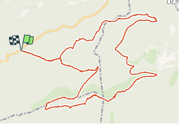
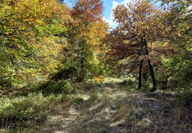
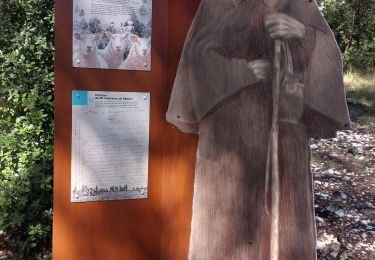
Ruta Senderismo de 17,8 km a descubrir en Provenza-Alpes-Costa Azul, Vaucluse, Bédoin. Esta ruta ha sido propuesta por Manoune.
Départ de la piste du Jas de Perrache. Font d'Angiou. Maison forestière du Rat. Les Tournières. la Combe de Clare. Chapelle St Jean. Font de Canaud. Combe de la Font d'Angiuo. Piste du Jas du Cros. Jas de Perrache. parking

Senderismo
Bici de montaña
Senderismo
Senderismo
Senderismo
Bici de montaña
Senderismo
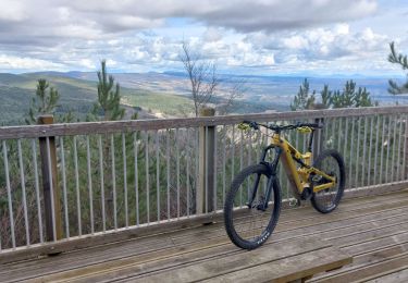
Bici de montaña
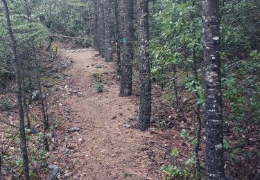
Senderismo