


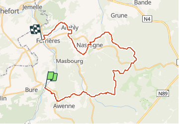


9,6 km | 11,9 km-effort
Randonnées de la Grande Forêt de Saint-Hubert GUIDE+


Aplicación GPS de excursión GRATIS
 SityTrail
IGN / Institutos geográficos
SityTrail World
El mundo es suyo
Ruta Senderismo de 32 km a descubrir en Valonia, Luxemburgo, Tellin. Esta ruta ha sido propuesta por La Grande Forêt de Saint-Hubert.
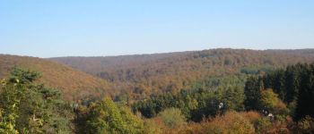
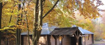
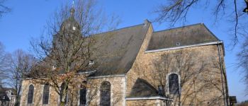
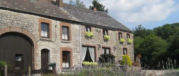
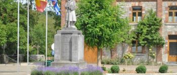
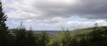
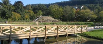
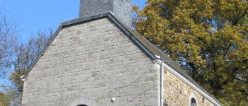
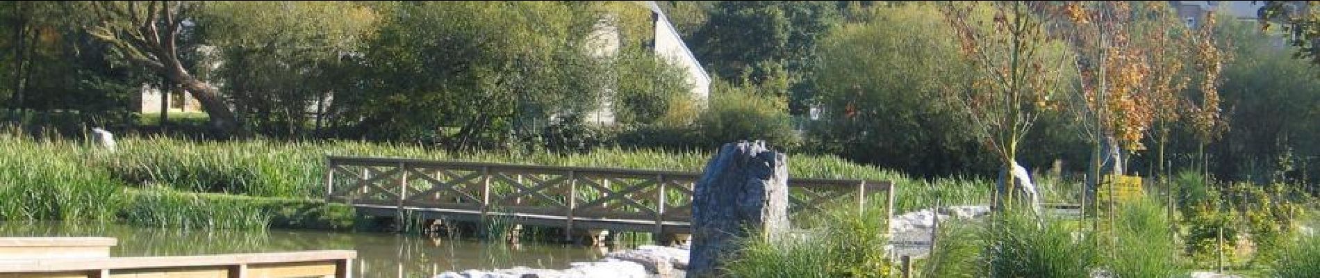
Itinéraire proposé sur deux jours. Le premier jour, vous relierez Grupont à Nassogne (21km), où de nombreux hébergements et restaurants vous attendent. Cette première partie vous fera plonger au plus profond de la forêt ardennaise. Le fourneau Saint-Michel, bienvenu pour une halte, sera le seul lieu bâti que vous rencontrerez en chemin. Le lendemain, changement de décor pour les 9 km du jour, avec une descente vers la plaine bocagère de la Famenne où vous croiserez le joli village d’Ambly, avec sa fromagerie et sa brasserie artisanale, avant de rejoindre Forrières en profitant de quelques beaux points de vue sur les environs.


22 fotos en total. Haga clic en una foto para mostrarlas todas en la galería.

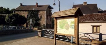
Senderismo

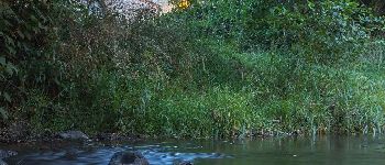
Senderismo

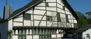
Senderismo

Senderismo

Senderismo

Senderismo

A pie

Senderismo

Senderismo