


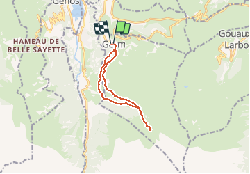

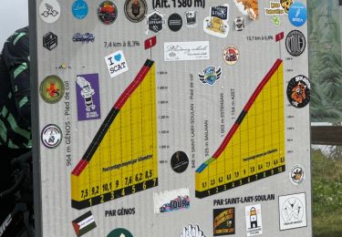
9,9 km | 18,4 km-effort

Usuario GUIDE


Aplicación GPS de excursión GRATIS
 SityTrail
IGN / Institutos geográficos
SityTrail World
El mundo es suyo
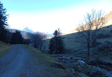
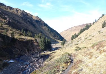
Ruta Senderismo de 10,6 km a descubrir en Occitania, Altos-Pirineos, Germ. Esta ruta ha sido propuesta por marmotte65.
pas de difficulté majeure éviter la seconde partie du GR10 et prendre la variante au niveau du petit barrage , passer sur la rive G.
Au retour au même endroit possibilité de prendre le sentier en face juste avant de traverser le barrage.


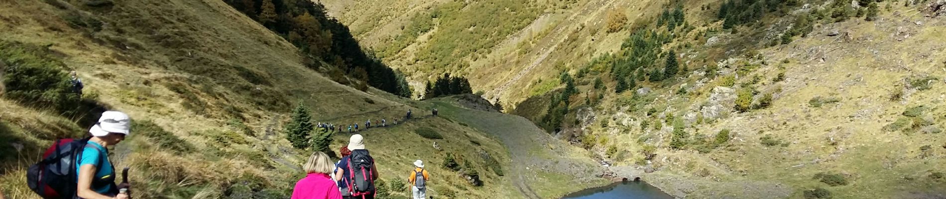
Senderismo

Senderismo

Senderismo

Senderismo
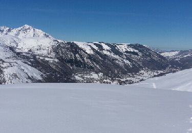
Raquetas de nieve
Senderismo
Senderismo
Senderismo
Senderismo