


9 km | 15,6 km-effort


Usuario


Aplicación GPS de excursión GRATIS
 SityTrail
IGN / Institutos geográficos
SityTrail World
El mundo es suyo
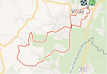
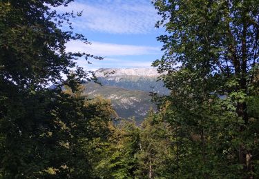
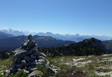
Ruta Senderismo de 5,7 km a descubrir en Auvergne-Rhône-Alpes, Alta Saboya, Villaz. Esta ruta ha sido propuesta por COMAN.
Depuis la salle polyvalente jusqu'aux vignes
Beaucoup de route
Découverte des nouveaux aménagements au tour du terrain de sport et des vignes
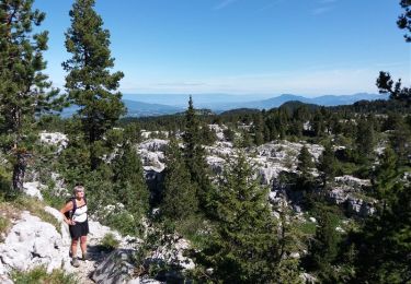
Senderismo
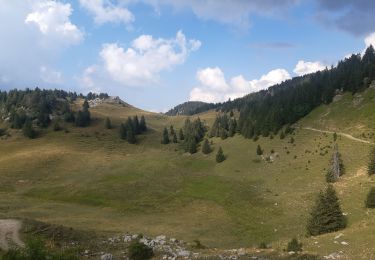
Senderismo

Senderismo
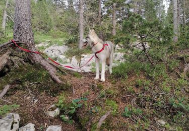
Senderismo
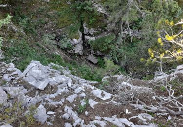
Senderismo

Senderismo
A pie
Senderismo
Senderismo