


10 km | 19 km-effort

Usuario


Aplicación GPS de excursión GRATIS
 SityTrail
IGN / Institutos geográficos
SityTrail World
El mundo es suyo
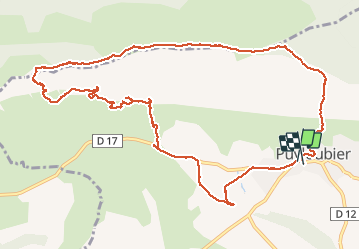
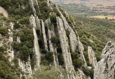
Ruta Senderismo de 14,2 km a descubrir en Provenza-Alpes-Costa Azul, Bocas del Ródano, Puyloubier. Esta ruta ha sido propuesta por Christiancordin.
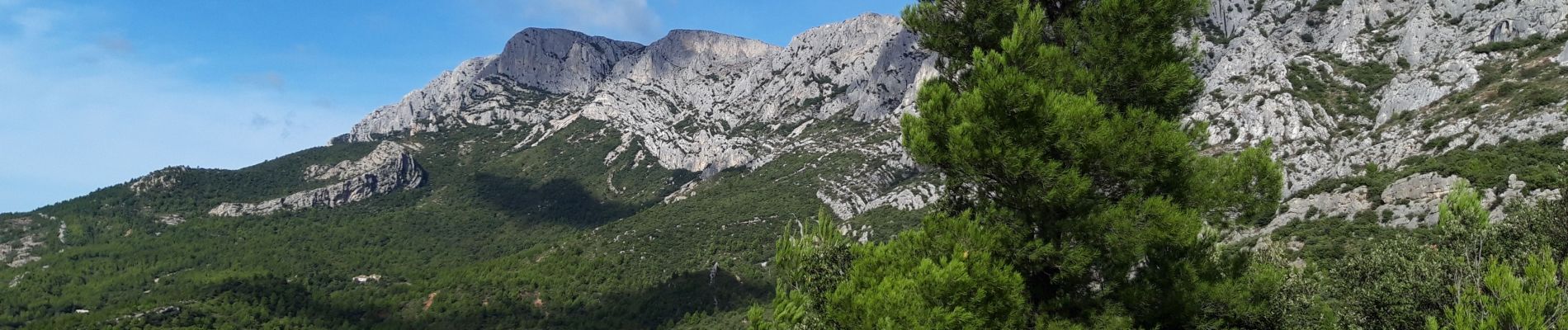
Puyloubier-Bramefan-Ermitage de St Ser-col de Vauvenargues-pic des mouches-oratoire de Malivert-GR.


Senderismo

Senderismo

Senderismo

Senderismo

A pie

Senderismo
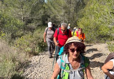
Senderismo
Senderismo
Senderismo