


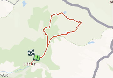

14 km | 27 km-effort

Usuario


Aplicación GPS de excursión GRATIS
 SityTrail
IGN / Institutos geográficos
SityTrail World
El mundo es suyo
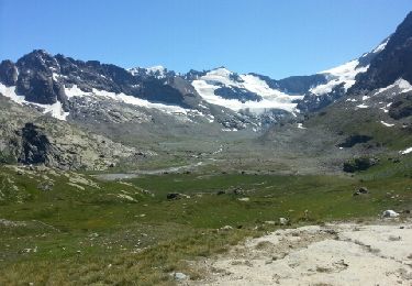
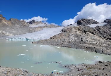
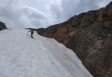
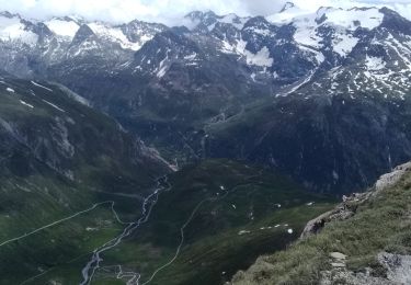
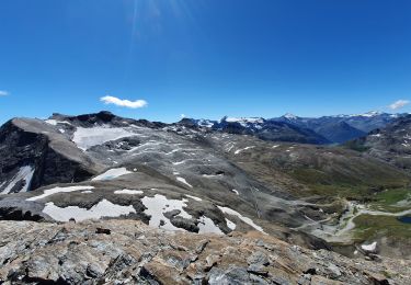
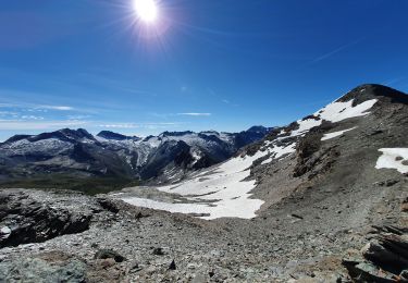
Ruta Senderismo de 16,3 km a descubrir en Auvergne-Rhône-Alpes, Saboya, Bonneval-sur-Arc. Esta ruta ha sido propuesta por yves12.
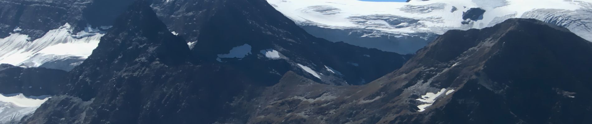
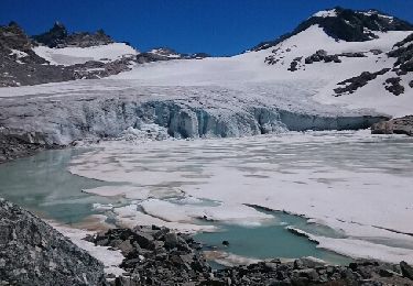
Belle randonnée, sentier très facile entre l'Ecot et le refuge du Carro . Après cela se corse cela devient un peu plus technique puisque on marche sur des moraines pendant un bon moment, donc dans de gros cailloux. Néanmoins pas vraiment de gaz. Par contre à faire par beau temps et quand les névés ont fondu ! Les cairns ne sont pas présent partout donc bien ouvrir l'oeil ! ........

Senderismo
Otra actividad
Senderismo
![Excursión Senderismo Bonneval-sur-Arc - Bonneval-sur-Arc / Bessans [neige] - J4 - Photo](https://media.geolcdn.com/t/375/260/28d35c22-b143-4338-8bb6-93842cf637ce.jpg&format=jpg&maxdim=2)
Senderismo
Senderismo
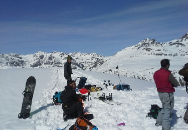
Esquí de fondo
Esquí de fondo
Senderismo
Senderismo