


10,6 km | 19,3 km-effort

Usuario


Aplicación GPS de excursión GRATIS
 SityTrail
IGN / Institutos geográficos
SityTrail World
El mundo es suyo
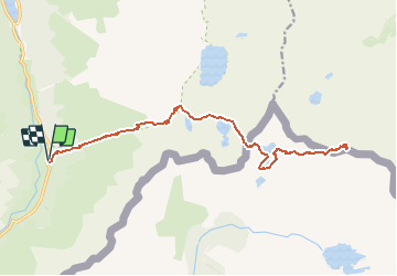
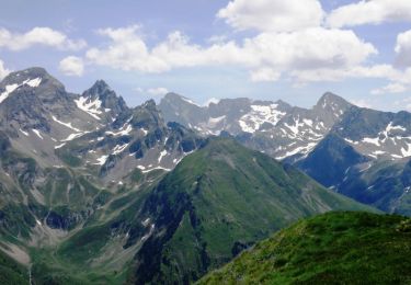
Ruta Senderismo de 24 km a descubrir en Nueva Aquitania, Pirineos-Atlánticos, Laruns. Esta ruta ha sido propuesta por PVERTICAL.
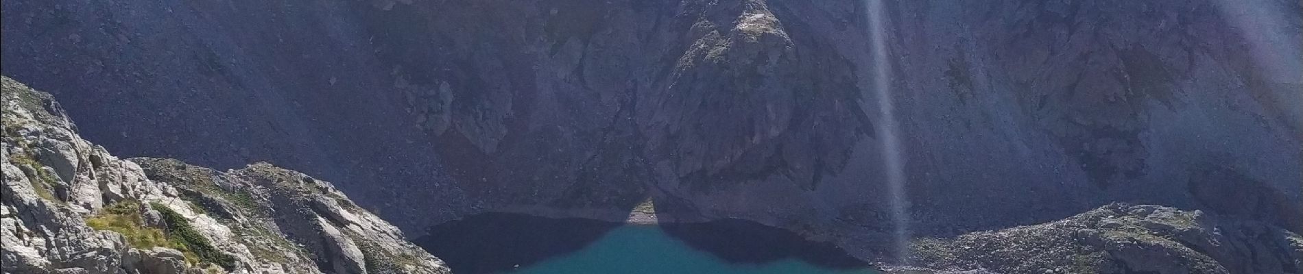
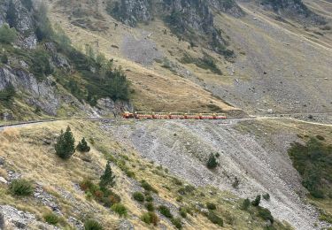
Aller retour dans la journée (très physique). Pas de grosses difficultés pour profil montagnard. ( passage d'orteig - grande diagonale = vertigineux) suivre les cairns et prendre son temps dans la diagonale pour ne pas se tromper (casque obligatoire = chute de pierres) - nombreuses possibilités de bivouac et de rechargement en eau. Magnifique randonnée


Senderismo
Senderismo

Senderismo

A pie
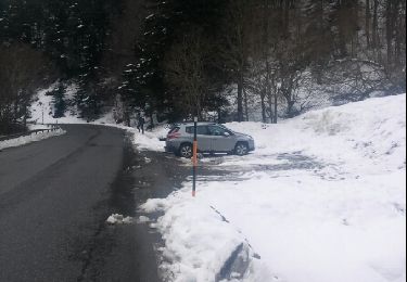
Raquetas de nieve

Senderismo

Senderismo

Senderismo
Senderismo