


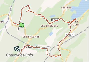

10,5 km | 13,9 km-effort

Usuario


Aplicación GPS de excursión GRATIS
 SityTrail
IGN / Institutos geográficos
SityTrail World
El mundo es suyo
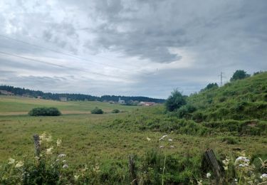
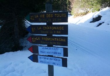
Ruta Senderismo de 12,7 km a descubrir en Borgoña-Franco Condado, Jura, Grande-Rivière-Château. Esta ruta ha sido propuesta por ayolia.
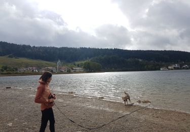
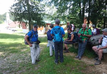
randonnée avec ane dans le Parc Naturel Regional du Haut Jura Location d ane chez Ane En Vadrouille 06 47 33 20 75


Senderismo
Senderismo
Senderismo

Ruta
Senderismo
Senderismo
Senderismo
Senderismo
Raquetas de nieve