


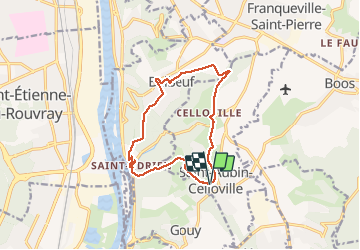

13,3 km | 15,2 km-effort

Usuario


Aplicación GPS de excursión GRATIS
 SityTrail
IGN / Institutos geográficos
SityTrail World
El mundo es suyo
Ruta Senderismo de 11,8 km a descubrir en Normandía, Sena-Marítimo, Saint-Aubin-Celloville. Esta ruta ha sido propuesta por MichelRando7656.
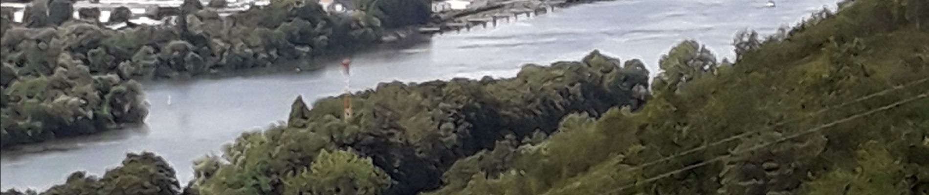
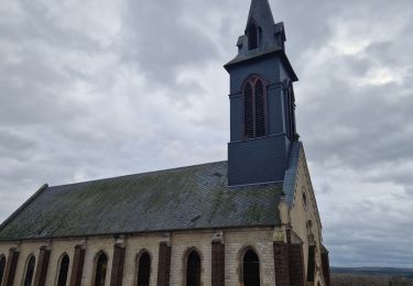
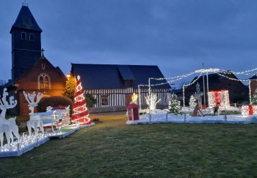
Randonnée campagne et forêts Superbe panorama sur les hauteurs de Saint-Adrien.
2 longues côtes bien raides et une 3 eme pus courte pour terminer le circuit.
A éviter pendant la chasse.


Senderismo
Senderismo
Senderismo
Senderismo

Senderismo

Senderismo
Senderismo

Senderismo
Senderismo