


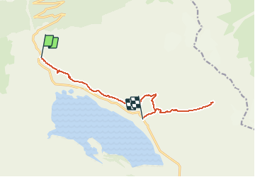

22 km | 38 km-effort


Usuario


Aplicación GPS de excursión GRATIS
 SityTrail
IGN / Institutos geográficos
SityTrail World
El mundo es suyo
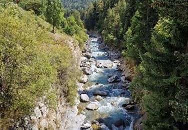
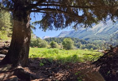
Ruta Senderismo de 12,2 km a descubrir en Auvergne-Rhône-Alpes, Saboya, Val-Cenis. Esta ruta ha sido propuesta por GGsavoie.
Belle balade. Première partie (fort de Ronce) assez aisée. Rampe jusqu'au lac clair. Retour fort de Ronce et descente sur la pyramide. Pas vraiment difficile.
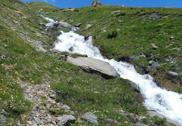
Senderismo
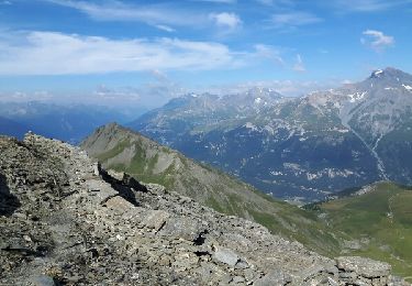
Senderismo


sport

Senderismo
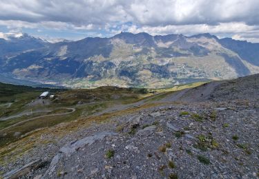
Senderismo
Senderismo

Senderismo

Senderismo
Senderismo