


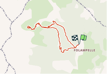

10,6 km | 21 km-effort

Usuario


Aplicación GPS de excursión GRATIS
 SityTrail
IGN / Institutos geográficos
SityTrail World
El mundo es suyo
Ruta Senderismo de 9,4 km a descubrir en Provenza-Alpes-Costa Azul, Altos Alpes, Embrun. Esta ruta ha sido propuesta por SyMA.
Départ Parking route de Caléyère
Boucle aller par Aiguille et Fontaniers
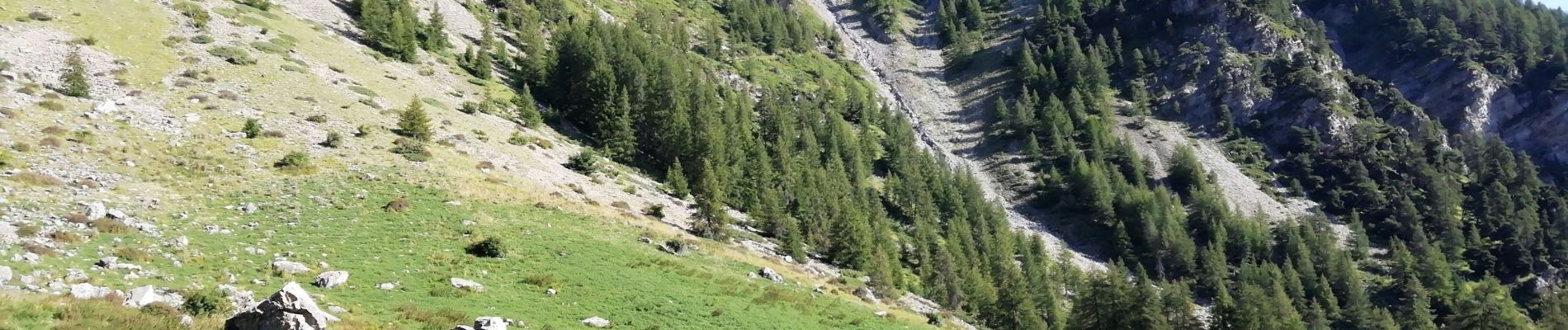
Tour du beau Lac d'altitude
Retour par Pré clos
Belle balade avec départ et arrivée en Forêt Pas de difficulté


Senderismo

Senderismo

Senderismo

Senderismo

Senderismo

Senderismo

Senderismo

Senderismo

Senderismo